
Bali Pass Trek

Region
Uttarakhand

Duration
8 days

Max. Altitude
16200 ft.

Trek Distance
50 kms

Grade
Difficult
Fixed Departures
October - 2026
- 1 Oct - 8 Oct
- Open
- 10 Oct - 16 Oct
- Open
- 18 Oct - 25 Oct
- Open
May - 2027
- 8 May - 15 May
- Open
- 17 May - 24 May
- Open
- 26 May - 2 Jun
- Open
₹22,800
+5% GST / Person
Highlights
- Services from Sankri to Janki Chatti.
- Pickup & Drop Location (if transport opted) : Prince Chowk
- Pickup : 06:00 AM | Drop : 06:30 PM–07:30 PM (weather/road dependent) Keep a buffer day and arrive a day early to avoid delays.
Add-ons
- Transport
- Rs 2500/- Per Person
- Offload
- Rs 4700/- Per Person
Add on information
- Insurance is mandatory.
- It is available for Indian citizens only.
- Non-Indians have to take insurance on their own.
- The cancellation policy will be implemented in accordance with the trek cancellation policy.
- Transportation: Dehradun to Sankari and Jaan ki Chatti to Dehradun return is optional.
- Choose add-ons during booking. If missed, you can contact us to book the same.
- Book transportation at least 10 days before the trek.
- Cancellation 6 or more days before the start of the trip results in a 100% cash refund.
- Cancellation less than 4 days from the start of the trip results in a 50% cash refund.
- Cancellations made on the trip date are not eligible for a refund.
- Backpack offload is optional.
- Choose add-ons during booking. If missed, you can contact us to book the same.
- Book off-load at least 10 days before the trek.
- For offline bookings at the base camp, a variable convenience fee may apply. (It differs from trek to trek)
- Offload can't weigh more than 10kg. Offload should have a waterproof cover. Suitcases/trolleys will not be allowed.
- In the event that you choose to cancel your trek prior to the departure date, you will receive a full refund.
- Note : The bag weight should not exceed 10 kg.
Bali Pass Trek Overview
- Trek Name : Bali Pass Trek
- Days : 8
- Adventure : Trekking
- Base Camp : Sankri
- Season : Summer | Autumn
- Months : May | June | September | October
- Country : India
- Altitude : 16200 FT
- Grade : Difficult
- Trail Type : Cross over trail | Start in one valley, traverse the pass, and ends in another valley.
- Food : Meals while on trek & Guest House (Veg & Eggs)
- Location : Uttarakhand
- Distance : 50 km
- Rail Head : Dehradun
- Stay : Guest House(Separate male & Female) & Camping (Twin Sharing)
- Airport: Jolly Grant Airport, which is 28 km away from Dehradun
Why is Bali Pass a must-do trek?
- The Bali Pass Trek in Uttarakhand is one of the most thrilling and adventurous treks, offering a wealth of unique experiences to you.
- This trek connects the famous Har Ki Dun Valley with the Yamunotri Valley, taking you through an offbeat route that passes by scenic locations.
- Along the way, you are treated to stunning views of some of the most iconic Himalayan peaks like Swargarohini, Bandarpoonch, and Kala Nag. Watching the sun illuminate these snow-covered peaks in shades of gold and orange at sunrise is a sight that stays with you forever.
- The trek also takes you through ancient villages like Dhatmeer, Dharkot, and Gangad, where you get a glimpse of the unique village culture and the simple, peaceful lifestyles of the mountain people.
- Throughout the journey, you’ll encounter a variety of terrains, dense forests, lush meadows, rocky moraines, snowy stretches, and even river crossings and steep climbs, keeping the trek exciting and diverse.
- Another highlight is trekking through the steep Narma Kandi Ridge, and heading towards bali col campsite.
Major Attractions During the Bali Pass Trek
- Bali Pass : Bali Pass is the highest point of the trek and a major highlight. It is a crossover between Har Ki Dun Valley and sacred Yamunotri Valley.
- Mountain Views : Throughout the trek, you get stunning views of the Swargarohini peaks, Bandarpoonch, and Black Peak. Watching the sunrise over these mighty mountains is a refreshing experience and a sight to behold.
- Govind Wildlife Sanctuary : The Bali Pass trek lies within the beautiful Govind Wildlife Sanctuary, known for its rich variety of flora and fauna. The trail passes through dense forests filled with Oak, Maple, Blue Pine, Silver Fir, Chir Pine, and more. Along the way, you might even spot wildlife like the Himalayan Monal, Musk Deer, Bharal, or Himalayan Tahr, adding to the charm of the trek.
- Ruinsara Tal : Ruinsara Lake is a calm and stunning alpine lake surrounded by wide open meadows. Located between Har Ki Dun and Yamunotri valleys, it’s one of the most beautiful campsites of the trek and a perfect place to relax and enjoy nature.
Eligiblity for Bali Pass Trek
- Age Requirement : Minimum 16 years
- Fitness Criteria :
- The Trekker should have sufficient stamina to cover 5 km of distance in 30 minutes without stress or 10 km of distance by jogging in 70 minutes without stress.
- If the trekker prefers cycling he/ she should be able to cycle 20 km of distance in 55 minutes.
- First-time trekkers are welcome, provided they meet the mentioned fitness requirements.
- If the trekker wants to carry a backpack then he/she should be able to carry a 10-12 kg backpack. If opt Off-load option then the Trekker should be able to carry 3-5 kg backpack.
- If a trekker's BMI is more or less than the normal range (18-26), please consult our Trek Coordinator before booking.
Bali Pass Trek Itinerary
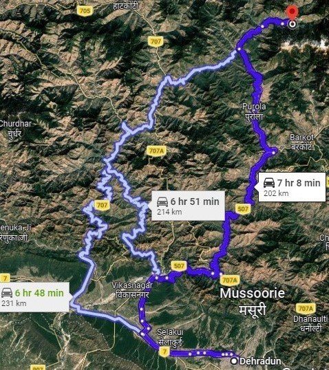
01. Dehradun to Sankri (Drive)
- Altitude Sankri: 1,950 m/ 6,400 ft.
- Drive: 200 km | 9-10 hrs.
02. Sankri to Seema via Dharkot
- Altitude:
- Seema: 2,600 m/ 8,500 ft
- Dharkot: 2,400 m/ 8,000 ft
- Trek Distance (Dharkot- Seema): 4 km | 3-4 hours.
- Drive Distance (Sankri - Dharkot): 24 km | 2 hrs.
03. Seema to Devsu Bugyal
- Altitude: 3,100 m/ 10,200 ft.
- Trek Distance : 5-6km | 5-6 hr.
04. Devsu Bugyal to Ruinsara Tal
- Altitude Ruinsara Tal: 3,600 m/ 11,800 ft.
- Trek Distance: 9 km | 5 - 6 hrs.
05. Ruinsara Tal to Odari
- Altitude: 4,000 m/ 13,100 ft.
- Trek Distance: 4 km | 3- 4 hrs.
06. Odari to Bali col camp
- Altitude: 4,600 m/ 15,100 ft.
- Trek Distance: 5 km | 6 - 7 hrs.
07. Bali col camp to Lower Dhamni via Bali Pass
- Altitude:
- Bali Pass: 4,950 m/ 16,200 ft.
- Lowar Dhamni: 3,350 m/ 11,100 ft.
- Trek Distance: 14 km | 10 - 11 hrs.
08. Lower Dhamni to Janki Chatti and drive to Dehradun
- Altitude: 2,600 m/ 8,500 ft. (Janki Chatti).
- Trek Distance (Lower Dhamni - Janki Chatti): 8 km | 4 - 5 hr.
- Drive Distance (Janki Chatti- Dehradun): 170km | 7-8 hr.
Note:
- Keep a buffer day in your travel plan.
- If buffer day is not used in the travel then it can be used to Explore Dehradun/Mussoorie.
- Distance, Altitude, and Trekking hours are approximate and rounded off.
- Keep the original and copy of ID proof handy.
- Come one day early if planning to come by flight.
Dehradun to Sankri (Drive)
- Altitude Sankri : 1,950 m/ 6,400 ft.
- Drive : 200 km | 9-10 hrs.
Your journey starts at Dehradun, where you will be picked up from the Dehradun Railway Station early in the morning and drive to Sankri Village in Uttarkashi district of Uttarakhand. Sankri is the base camp for our trek. Located in Govind National Park, Sankri is about 220 km away from Dehradun. we will cross scenic places like Mussoorie, Kempty Falls, etc., and villages like Damta, Netwar, Purola, and Mori. In the first part of the route, you will cross through the beautiful hill station of Mussoorie, and in the middle part drive along the pristine clue-green water of the Yamuna the latter half of the journey, you will pass through coniferous forests and the meandering Tons River flowing side by side.
Purola is the last ATM point on our trip, so if you want to withdraw cash, you can do it here. Once we reach the Mori checkpost, you will be asked for Aadhar or similar ID proof at the check post. Keep them ready. After Mori, it is a short drive to Sankri, where we will stay for the night. The stay is arranged in a hotel/guesthouse. We will reach Sankri by late evening and after freshening up in the hotel, you can enjoy the splendid views of the setting sun over the Himalayan peaks.
Sankri to Seema via Dharkot
- Altitude :
- Seema : 2,600 m/ 8,500 ft
- Dharkot : 2,400 m/ 8,000 ft
- Trek Distance (Dharkot- Seema) : 10 km | 6 - 7 hr.
- Drive Distance (Sankri - Dharkot) : 24 km | 2 hrs.
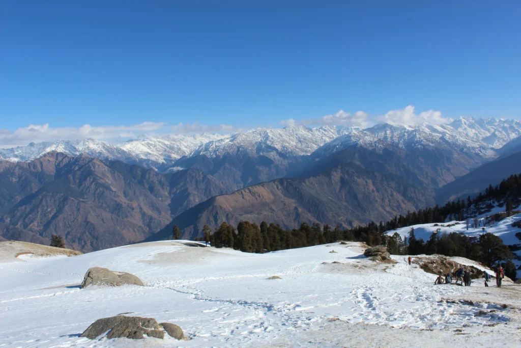
We will start the day with a warm and hearty breakfast, surrounded by stunning views of the majestic mountains. The crisp morning air and serene surroundings will set the perfect mood for the adventure ahead. After enjoying your meal, it’s time to embark on today’s journey. You’ll first drive from Sankri to Dharkot. The drive itself is an experience, as the winding mountain roads offer views of towering peaks and lush valleys. You’ll feel the cool, refreshing breeze of the mountains, making the ride even more enjoyable. As you approach Dharkot, the last motorable point, the anticipation for the trek ahead begins to build.
From Dharkot, your trek to Seema village begins. The trail begins with a well-defined path and takes you through vibrant forests filled with a variety of trees including Cedar and Pine, Maple, Oaks and lush greenery. The peaceful sound of nature will accompany you, from chirping birds to the gentle rustling of leaves. Along the way, you’ll come across Gangar village, a charming settlement with traditional wooden houses that reflect the region’s unique architecture. Take a short break here to admire the beautiful valley views before continuing your ascent.
As you arrive in Seema village, the peaceful surroundings offer a perfect place to unwind. Here you will settle in for the night and a warm and delicious dinner will be served, providing a comforting end to the day’s journey.
Seema to Devsu Bugyal
- Altitude : 3,100 m/ 10,200 ft.
- Altitude difference : 500 m/ 1,700 ft.
- Trek Distance : 5-6 km | 5-6 hr.
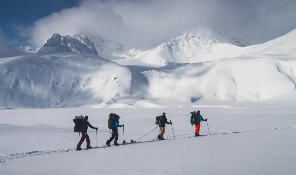
We will trek along the Supin River to Devsu Bugyal and walk through Devsu Bugyal meadows. We will trek along the Supin River and the river will be on our left side. The path may also be a little slippery toward the end so be cautious.
The trail begins with Supin River on the left and while ascending, the path soon becomes steep as you get closer to Devsu Bugyal, climbing up, you will get the views of Osla Village behind you and as you enter the Ruinsara Valley, the path becomes filled with boulders adding more challenge to your trek. 30 minutes further walk will bring you into Devsu Bugyal meadows and the meadow stretches for about 2 km. We will rest here for a while appreciating the natural beauty.
The Devsu Bugyal meadows are set amidst the Ruinsara forest and while ascending towards Devsu Bugyal, you will see a variety of Himalayan wildflowers and foliage.
Devsu Bugyal to Ruinsara Tal
- Altitude : 3,600 m/ 11,800 ft (Ruinsara Tal).
- Altitude difference : 500 m/ 1,600 ft.
- Trek Distance : 9 km (5 - 6 hrs approx.)
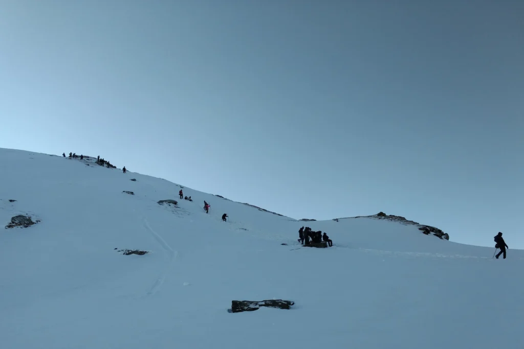
Today is an exciting day of our trek as you will trek to the beautiful glacial lake, Ruinsara Tal. It’s a 9 km trek to Ruinsara Tal and after walking for about 4 to 5 hours you will arrive at the lake.
The lovely Ruinsara Lake is surrounded by meadows and Rhododendron blooms, which amplify its beauty. The campsite is wonderfully nestled in a location where on one side is the Ruinsara Lake and on the other side the Supin River. The views from the campsite are equally as beautiful as the lake. You will see Yamuna Kanta on the southwest side, the pass that will take you to Yamunotri, the source of the Yamuna River. On the east lies the majestic mountains, the Bandarpunch peak, and Dhumdhar Kandi Range, and on the south-east, you can see Kala Nag and White peak.
Ruinsara Tal to Odari
- Altitude : 4,000 m/ 13,100 ft.
- Trek Distance : 4 km | 3- 4 hrs.
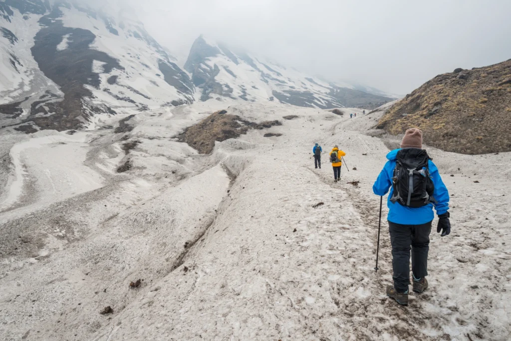
Today is a short trek from Ruinsara Tal to Odari, about 4 km. It will take about 4 to 5 hours to reach Odari. The trek starts with a descent to the Supin River along with dense vegetation and after crossing the river through a bridge, you will ascend to a small meadow and continue our trek in the south-east direction along the river. A further walk for about three hours will bring you to Odari.
The name Odari means naturally made rock cave and as per the folklore, the locals believe that Sugreevs brother, Bali had spent a night here at Odari. Odari campsite also offers some stunning views of Swargrohini peaks. If you are lucky, you might find evidence of the rare Himalayan mountain bear as well. The camp is set in a unique location with the beautiful valleys below you and the Bali Pass behind you.
After lunch, the trek leader will give you a briefing and some training that will be useful when you trek toward the summit. Have proper food and sleep well so that you have good energy.
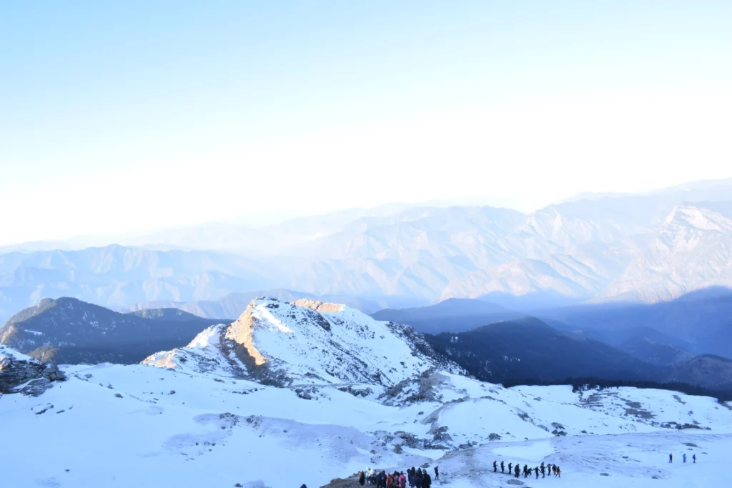
Odari to Bali col camp
- Altitude : 4,600 m/ 15,100 ft.
- Trek Distance : 5 km | 6 - 7 hr.
The trek from Odari to Bali Col Camp is 5 km and the camp is situated at an altitude of 15,100 ft. Begin the trek by heading southwest towards the base camp. You will walk along a mountain ridge to reach the base camp. The trek difficulty gradually increases from Odari as you get closer to the Pass. From Odari camp, carry at least 2 liters of water with you as there are no water sources on the way to our next campsite.
Today we will be camping at an altitude of 15,100 ft so you should be properly hydrated and keep yourself as active as possible to avoid the chances of AMS (Acute Mountain Sickness). The ridge that we climb up is sharply inclined at 60 degrees, which can make for a strenuous climb even though the distance is short. The temperature also rapidly drops and acclimatization takes longer at such heights, so take all the appropriate measures and follow your trek leader’s advice.
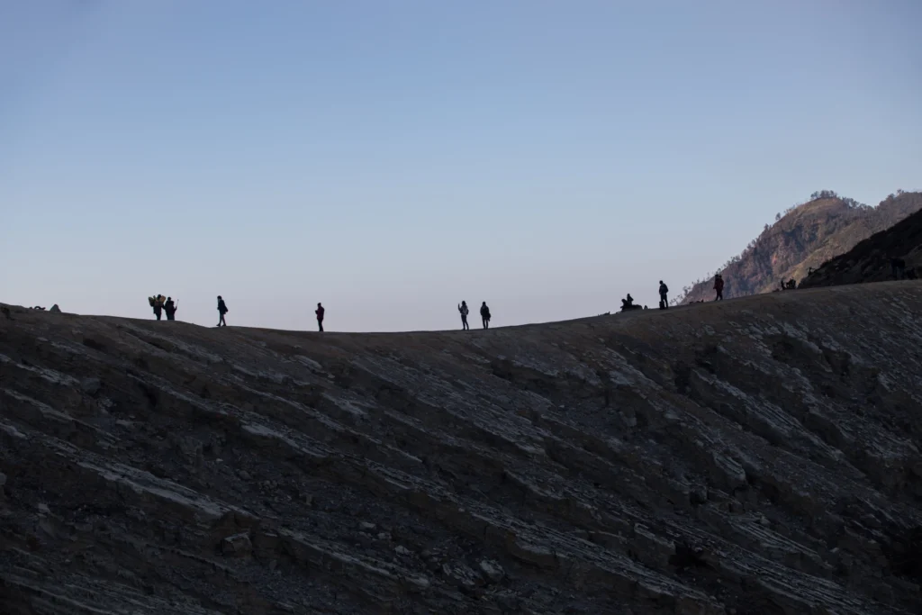
Bali col camp to Lower Dhamni via Bali Pass
- Altitude:
- Bali Pass : 4,950 m/ 16,200 ft.
- Lowar Dhamni : 3,350 m/ 11,100 ft.
- Trek Distance : 14 km | 10 - 11 hrs.
The summit push! We will touch an altitude of 16,200 ft. After making the summit, we will also descend to our next campsite at Lower Dhamni, which is at an elevation of 11,100 ft. Today’s trek will be the longest and the most challenging so far. Beginning our day early in the morning, we will head southeast towards the Pass.
The entire trail is filled with snow and you will have to use the skills that your trek leader taught earlier to maneuver through the snow. From the base camp, it takes about 2 to 3 hours to reach the summit and once you are at the top, you can enjoy some of the most stunning mountain views that you have ever witnessed.
Get 360-degree views of Himalayan peaks like Bandarpoonch, Swargrohini, and other ranges of the Garhwal Himalayas from the top and you will also get views of the Yamunotri Valley from here. After spending some time at the summit, we will descend to the Lower Dhamni campsite.
The trail to the summit is quite difficult and Bali Pass Summit is quite narrow itself, 10 feet long and 30 feet wide and cannot accommodate more than 20 to 30 people at a time. Overcoming all the challenges when you make it to the summit fills you with a sense of accomplishment and pure joy and the difficult climb ends up becoming extremely rewarding.
The descent to Lower Dhamni is quite challenging. Even though we are moving downhill, the descent is very steep and technical. Its almost a vertical path, so you need to be very very careful. Also, the path is full of big stones and loose stones, which adds to the difficulty. If there is snow, then it will further add to the challenge.
The difficult path does not end here, after the steep descent we have to walk on a very narrow path, which is as narrow as 6 inches in some places, so follow your trek leader and heed their advice as you climb down to Upper Dhamni. After such a challenging descent, we will rest for a while at Upper Dhamni before resuming our trek. The trek down from Upper Dhamni to Lower Dhamni is not marked and is also quite confusing as it runs in a zig-zag maze. It is advised that everyone sticks close together and observe your trek leader and the guiding team.
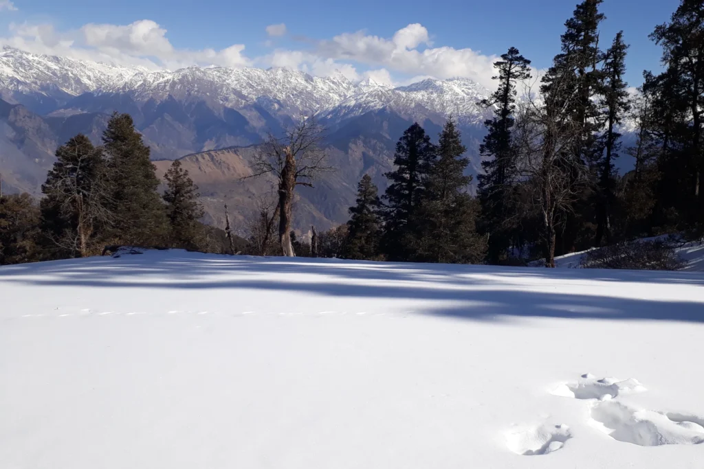
Lower Dhamni to Janki Chatti and drive to Dehradun
- Altitude : 2,600 m/ 8,500 ft. (Janki Chatti)
- Trek Distance (Lower Dhamni - Janki Chatti) : 8 km | 4 - 5 hr.
- Drive Distance (Janki Chatti - Dehradun) : 170 km, 7-8 hrs approx.
Final day of your trek and the culmination of your journey. The ascent to the Yamunotri Temple is relatively easier compared to the previous days. You’ll start on a mud trail that gradually merges into a cemented pathway leading up to the temple. The remainder of the route follows this paved trail.
At Janki Chatti, transportation has been arranged to take you back to Dehradun. We’ll leave early from the campsite to ensure a timely return. With a beautiful offbeat trekking experience and lasting memories, you’ll head home after an incredible adventure.
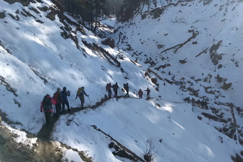
Health Awareness
- Pulse rate at rest must be in between (60 to 100 beats per minute).
- Blood Pressure Reading must be in between (DIASTOLIC 75 – 85, SYSTOLIC 100 - 130 mm Hg).
- Respiratory rate at rest must be in between (12 to 20 breaths per minute).
- Should not have Liver and kidney issues.
- Should not have Diabetes Mellitus, Bronchial Asthma, Heart problems, Hypertension, etc.
- No pacemaker implant.
- People with Sinus issues, Epilepsy please contact to trek coordinator before booking the trek.
- If your BMI is not normal, Please contact our Trek coordinator before Trek booking.
Important Links
How to Reach:
Pick-Up Information
- It is essential for everyone to arrive at Prince Chowk, Dehradun (06:00 am).
- Once you have reached Dehradun, WTM will manage the rest of your travel arrangements, if you have opted for WTM's pick-up service, you can select this option during the booking process by adding it as an add-on.
Options to Reach Dehradun
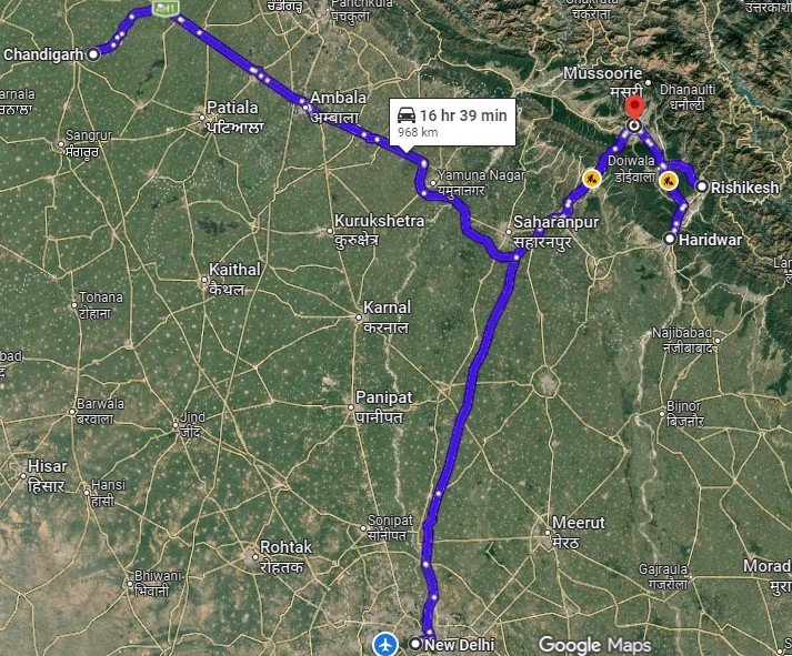
First, you can arrive at Delhi, Dehradun Airport or Chandigarh. The journey from these locations to Dehradun is explained below.
- 1. Take an overnight train from Delhi to Dehradun.
- 2. Take a bus to Dehradun ISBT from Delhi Kashmiri gate ISBT or Chandigarh Sector 17 Bus stand, and then take local transport to the pickup point (Prince Chowk).
- Delhi to Dehradun - 250km | 6hr.
- Chandigarh to Dehradun - 220km | 5hr
- The distance from the Dehradun Bus Stand (ISBT) to the Railway Station is 6 km, without traffic, it will take 15 minutes.
- ( We strongly recommend to go for the govt. Buses over the private ones outside the bus station as based on the experience we have found that there are very high chances of delay involved with private buses. Also, govt. Buses are always more reliable. Whichever bus you choose, just make sure to reach Dehradun at least by 05:30 am positively. )
- 3. Take a flight to Dehradun airport (Jolly Grant Airport), then from the Airport to Prince Chowk, Dehradun Distance is 30km and it will take around 1 hr( if coming by flight then reach one day early).
Drop-Off Information
- The designated drop-off point is Prince Chowk, Dehradun.
- Arrive in Prince Chowk by 6:30 to 7:30 pm.
- Please consider planning your subsequent travel arrangements after 9:00 pm.
- The distance from the Railway Station to Dehradun Bus Stand (ISBT) is 6 km, it will take approx 25 minutes.
- The distance from Railway Station to Dehradun Airport is 30km, it will take approx 1hr.
- It's highly advisable to keep a buffer day in your travel plan. If the buffer day is not needed, it can be used to explore Dehradun/Mussoorie/Rishikesh.
- ( If you prefer to travel independently to Base camp and don't want to take WTM's pick-up service, you can either take a government bus or book a private cab from Dehradun. Your trek coordinator will provide guidance on how to arrange for the bus or cab booking. )
- WTM offers comfortable transportation through Tempo Traveler, Bolero, or equivalent vehicles. If you wish to upgrade your mode of transportation, please contact your trek coordinator for further assistance.
Cost Terms
1. Accommodation (as per the itinerary)
- Guest houses on Day 1 (Triple/quad sharing).
- Camping during the trek (Day 2 to Day 7).
2. Meals (Veg + Egg)
- All meals are from Sankri to Jaan ki Chatti.
- Day 1 Dinner to Day 8 Breakfast.
3. Support
- 1 Versatile base camp manager: handles communication and deploys extra manpower in emergencies.
- 1 Mountaineering & First aid qualified professional trek leader.
- 1 Experienced high-altitude chef.
- Local experienced guides (Number of guides depending on the group size).
- Enough support staff.
4. Trek Equipment
- Sleeping bag, sleeping liners (if required), Mattress, and Utensils.
- 3 men all season trekker tent (twin sharing), Kitchen & Dining tent, Toilet tent.
- Camping stool, Walkie talkie.
- Ropes, Helmet, Ice axe, Harness, Gaiters & microspikes (if required).
5. First Aid
- Medical kit, Stretcher, Oxygen cylinder, Blood pressure monitor, Oximeter, Stethoscope.
6. Transportation (as per the itinerary)
- Dehradun to Sankri & Jaan ki Chatti to Dehradun (If booked through WTM, available upon booking in add-ons).
- Sankri to trekking point.
7. Cloak room service in Dehradun.
8. Mules/porters to carry the central luggage.
9. All necessary permits and entry fees, up to the amount charged for Indians.
10. Trek Insurance (for Indian Nationals)
11. Trek completion certificate.
- Insurance (For non-Indian Nationals, NRI or OCI card holders).
- Food during the transit.
- Any kind of personal expenses.
- Mule or porter to carry personal luggage.
- Emergency evacuation, hospitalization charge, etc.
- Any extra costs incurred due to extension/change of the itinerary due to natural calamities roadblocks, vehicle breakdown, etc. factors beyond our control
- Anything not specifically mentioned under the head Inclusion.
Trek Essentials
| Backpack with rain cover | (40 – 50 ltr) with comfortable shoulder straps |
| Day pack with rain cover | 20 – 30 ltr (If off-load opted) |
| Walking stick | Advisable (At least one) |
| Water Bottle / Hydration pack | 2 bottles of one liter each, People who use hydration pack 1 hydration pack and 1 bottle of one liter, Carry at least one thermos flask. |
| Small size tiffin/lunch box | 1 Nos |
| Snacks | Energy bars, dry fruits, electral/ors |
| Personal Medical Kit | Consult your doctor |
| T-Shirt (Synthetic quick dry) | 1 Full & 1 Half sleeves |
| Fleece T-shirt | 1 Nos |
| Fleece jacket | Not required |
| Windproof Jacket | 1 Nos |
| Down feather / Hollow jacket | 1 Nos |
| Thermal inner (Upper and Lower) | 1 Pair |
| Trek Pant (Synthetic quick dry) | 1 Nos |
| Fleece Pant | Not required |
| Waterproof gloves | Not required |
| Fleece / woollen gloves | 1 Pair |
| Poncho / waterproof Jacket and pant | 1 Nos |
| Head torch | 1 Nos. (Avoid Hand torch) |
| Sun cap | 1 Nos. (One that covers the neck as well) |
| Woolen cap | 1 Nos. |
| Balaclava | Not required |
| Buff / Neck-gaiters | 1 Nos. |
| Sunglasses | UV with dark side cover, People who wear spectacles – (A)- Use contact lenses | (B)- Photo chromatic glasses |
| Trekking shoes | 1 Pair (Water-resistant, high ankle with good grip) |
| Floaters / flip-flops | 1 Pair |
| Cotton socks | 6 pairs |
| Woollen socks | 1 pairs |
| Gaiters | 1 Pair (WTM provides when required) |
| Micro spikes | 1 Pair (WTM provides when required) |
| Sunscreen cream | 1 Nos |
| Moisturiser | 1 Nos |
| Chap-stick / Lip balm | 1 Nos |
| Toothbrush and toothpaste | 1 Nos |
| Toilet paper & Wipes | 1 Nos |
| Soap / hand sanitizers | 1 Nos |
| Antibacterial powder | 1 Nos |
| Quick dry towel | 1 Nos |
Gallery
Cancellation Terms
To request a cancellation, please email us at info@walkingthemountains.com using your registered email ID.
Cancellations prior to 28 days from the start of the Trip
Refund Options
- 5% deduction of trek fee
- 100% trek fee cash voucher for any trip until six months from the date of last trek.
- Transfer your trek (any trek, any date) to your friend
Cancellation between 27 days and 15 days to the start of the Trip
Refund Options
- 30% deduction of trek fee
- 100% trek fee cash voucher for same trip till one year
- 85% trek fee cash voucher for any trip till one year
Cancellation between 14 days and 8 days to the start of the Trip
Refund Options
- 50% deduction of trek fee
- 80% trek fee cash voucher for same trip till six months.
- Book the same trek, in the same season, with any other batch
- Transfer your trek (same trek, any date) to your friend
Cancellation less than 7 days to the start of the trek.
Refund Options
- No cash refund
- 20% trek fee cash voucher for the same trip until six months.
Itinerary and Modifications
- WTM reserves the right to modify, shorten, or cancel any part of the Trip due to transportation delays, weather, health emergencies, or other unforeseen circumstances including Force Majeure.
Cancellations and Refunds
- No refunds or vouchers, partial or otherwise, shall be provided for voluntary withdrawal, non-utilisation of services, or removal from the Trip.
- If WTM cancels the Trip before arrival at the designated pick-up point due to unforeseen circumstances or Force Majeure, the Participant may choose from:
- An alternate Trip/date.
- A credit voucher valid for one (1) year.
- Transfer to another Trip, with cost differences payable by the Participant.
- If the Trip is abandoned post-arrival at the designated pick-up point, no cash refund or voucher shall be issued. The Trek Again Policy may apply at WTM’s discretion.
- WTM shall not be liable for any associated travel costs such as flights, accommodation, or visa fees.
Force Majeure
- Events beyond its control including but not limited to earthquakes, landslides, strikes, curfews, war, pandemic, government restrictions, heavy rainfall or snowfall, windstorms, road blockages, trail disruption, or withdrawal of permits, WTM shall not be held liable for any cancellation, delay, or service modification caused by Force Majeure.
FAQ’S
No, as it is a difficult grade trek, a prior trekking experience is must.
For the Bali Pass Trek, you need to be in good physical health. You should have the stamina to cover 5 km in 30 minutes comfortably, or be able to jog 10 km in 70 minutes without feeling overly tired. If you prefer cycling, you should be able to cycle 20 km in 55 minutes with ease. This level of fitness will help you tackle the trek’s moderate to challenging sections.
Yes, backpack offloading service is available during the Bali Pass Trek.
The nearest ATM for the Bali Pass Trek is located in Purola. It's a good idea to withdraw cash from there, as ATM facilities are limited in the villages along the trek. Make sure to carry enough money for your trek, as there are no ATMs available during the hike.
The Bali Pass Trek is one of the most scenic and exciting treks in the Himalayas. Some of the major highlights include crossing the high-altitude Bali Pass itself, walking along the beautiful Narma Kandi ridge and visiting the peaceful Ruinsara Tal, a crystal-clear alpine lake surrounded by mountains. Camping at Devsu Bugyal, a lush green meadow surrounded by forests, is a calming and memorable experience. One of the best parts of this trek is the wide, panoramic views of the snow-covered Himalayan peaks. Along the way, you’ll also pass through remote villages like Gangad, Dharkot, and Dhatmir, where you can experience the simple and rich culture of mountain life.
Yes, permits are required for the Bali Pass trek, as it passes through protected areas. These permits help regulate footfall and ensure the conservation of the region’s biodiversity. However, you don’t have to worry about arranging them yourself, we take care of everything.