
Kashmir Great Lakes Trek

Region
Kashmir

Duration
8 days

Max. Altitude
13750 ft.

Trek Distance
75 kms

Grade
Moderate to difficult
 Due to unclear situations, trek permissions in Kashmir are still awaited this year. Explore the alternative Buran Ghati Trek in Himachal Pradesh. Click here to explore Buran Ghati Trek
Fixed Departures
No batches available
September - 2026
- 6 Sept - 13 Sept
- closed
₹20,500
+5% GST / Person
Highlights
- Services Sonmarg to Naranag.
- Pickup & Drop Location (if transport opted) : Nishat Garden
- Pickup : 12:00 PM | Drop : 06:30 PM–07:30 PM (weather/road dependent) Keep a buffer day and arrive a day early to avoid delays.
- Please note that prepaid sim cards do not work in Kashmir.
- Don’t forget your original ID proof and 2 photocopies.
Add-ons
- Transport
- Rs 2000/- Per Person
- Offload
- Rs 4600/- Per Person
Add on information
- Insurance is mandatory.
- It is available for Indian citizens only.
- Non-Indians have to take insurance on their own.
- The cancellation policy will be implemented in accordance with the trek cancellation policy.
- Transportation: Srinagar to Sonamarg & return is optional.
- Choose add-ons during booking. If missed, you can contact us to book the same.
- Book transportation at least 10 days before the trek.
- Cancellation 6 or more days before the start of the trip results in a 100% cash refund.
- Cancellation less than 4 days from the start of the trip results in a 50% cash refund.
- Cancellations made on the trip date are not eligible for a refund.
- Backpack offload is optional.
- Choose add-ons during booking. If missed, you can contact us to book the same.
- Book off-load at least 10 days before the trek.
- For offline bookings at the base camp, a variable convenience fee may apply. (It differs from trek to trek)
- Offload can't weigh more than 10kg. Offload should have a waterproof cover. Suitcases/trolleys will not be allowed.
- In the event that you choose to cancel your trek prior to the departure date, you will receive a full refund.
- Note : The bag weight should not exceed 10 kg.
Kashmir Great Lakes Trek Overview
- Trek Name : Kashmir Great Lakes Trek
- Days : 8
- Adventure : Trekking
- Base Camp : Sonamarg
- Season : Monsoon
- Months : July | August
- Country : India
- Altitude : 13750 FT
- Grade : Moderate to Difficult
- Trail Type : Cross over trail | Start in one valley, traverse the pass, and ends in another valley.
- Food : Meals while on trek & at Hotel/Guesthouse (Veg & Eggs)
- Location : Kashmir
- Distance : 75 km
- Rail Head : Jammu
- Stay : Camping (Twin sharing)
- Airport: Srinagar (sheikh ul-alam international)
Why is Kashmir Great Lakes a Must-Do Trek?
- The trek has the most picture- perfect settings you will ever witness. The golden reflections of the mountains in the lake, the colorful carpets of wildflowers and the rugged landscapes make it a paradise for everyone.
- The trail is also home to diverse flora and fauna. You'll encounter a wide variety of vibrant blooming flowers like daisies and blue poppies as well as wildlife and migratory birds.
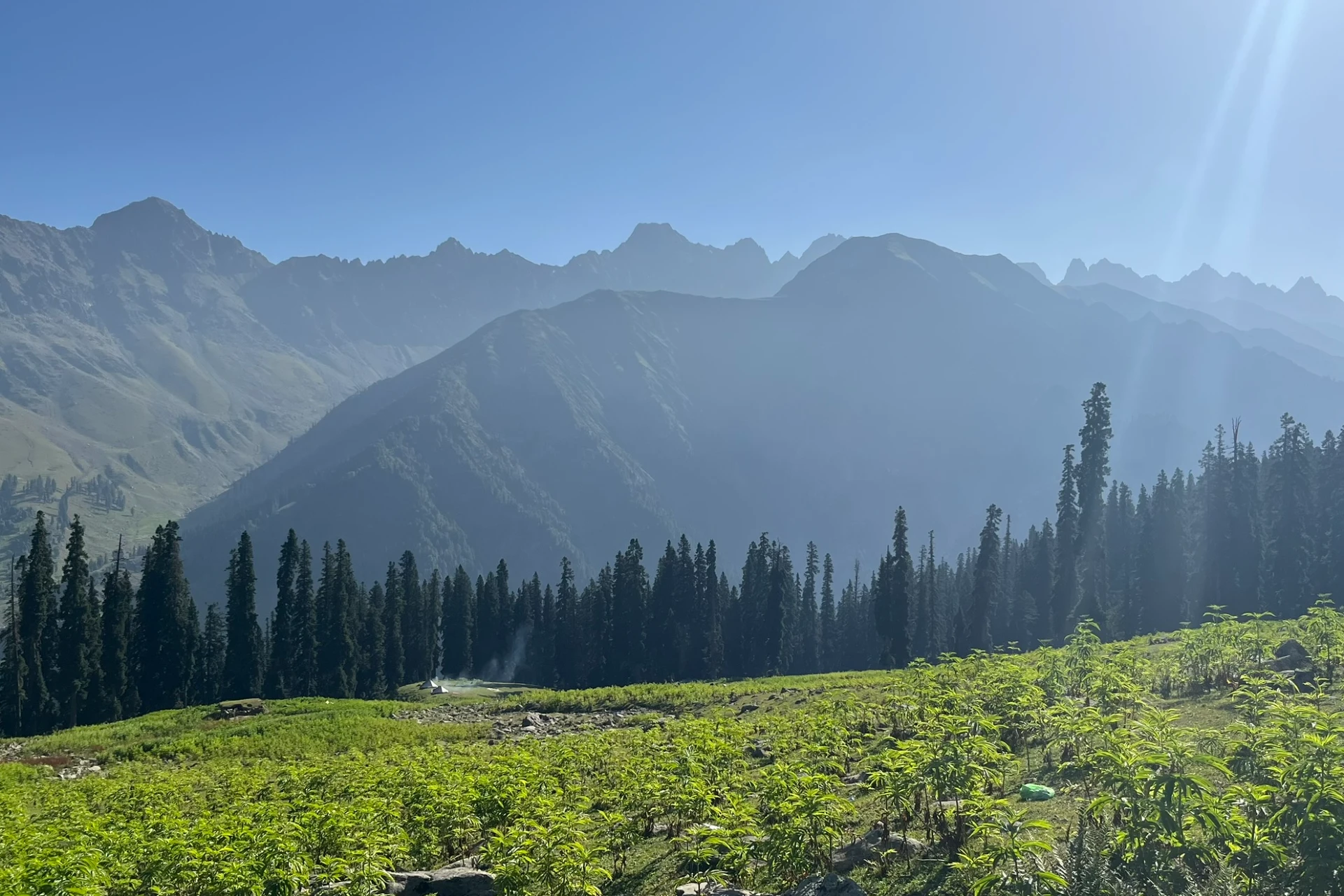
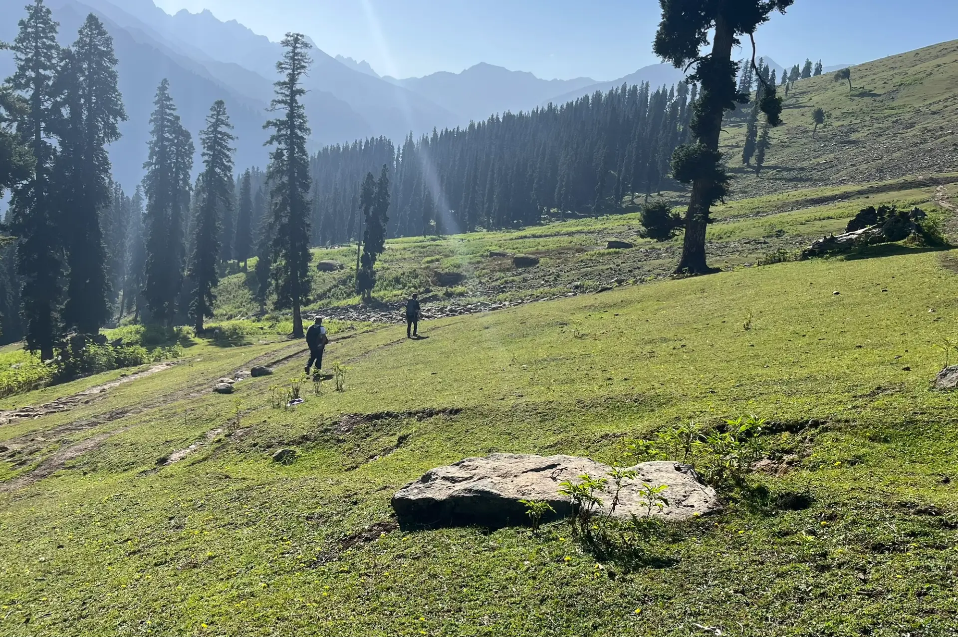
- Trekking through the vast meadows during this trek feels like walking through living paintings. The valleys, gurgling streams, and lush meadows dotted with shepherd huts paint a postcard-perfect landscape.
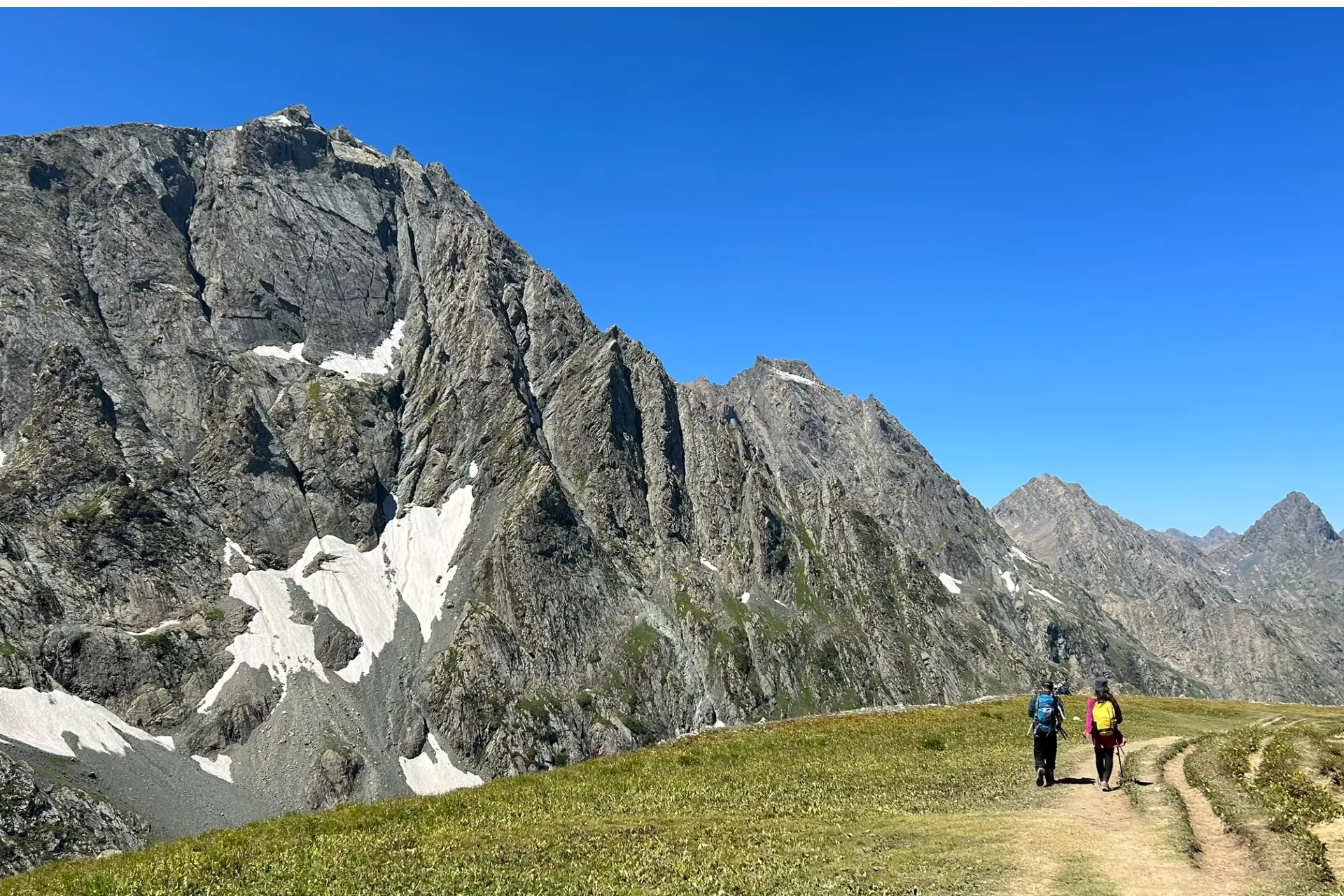
- As you trek, the scenery transitions between rolling green hills and slightly rocky terrains. It also offers you panoramic vistas of snow- capped Himalayan peaks.
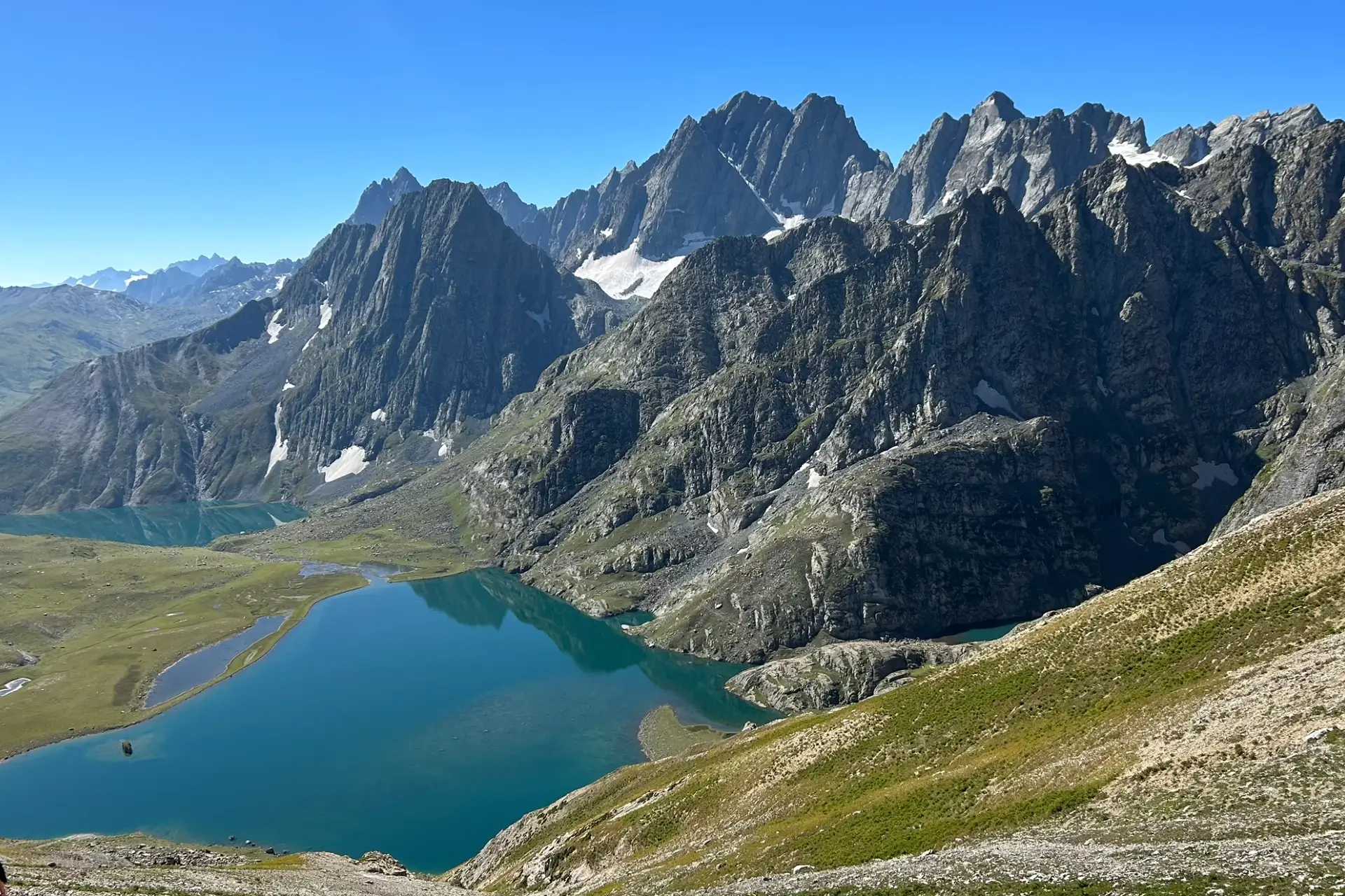
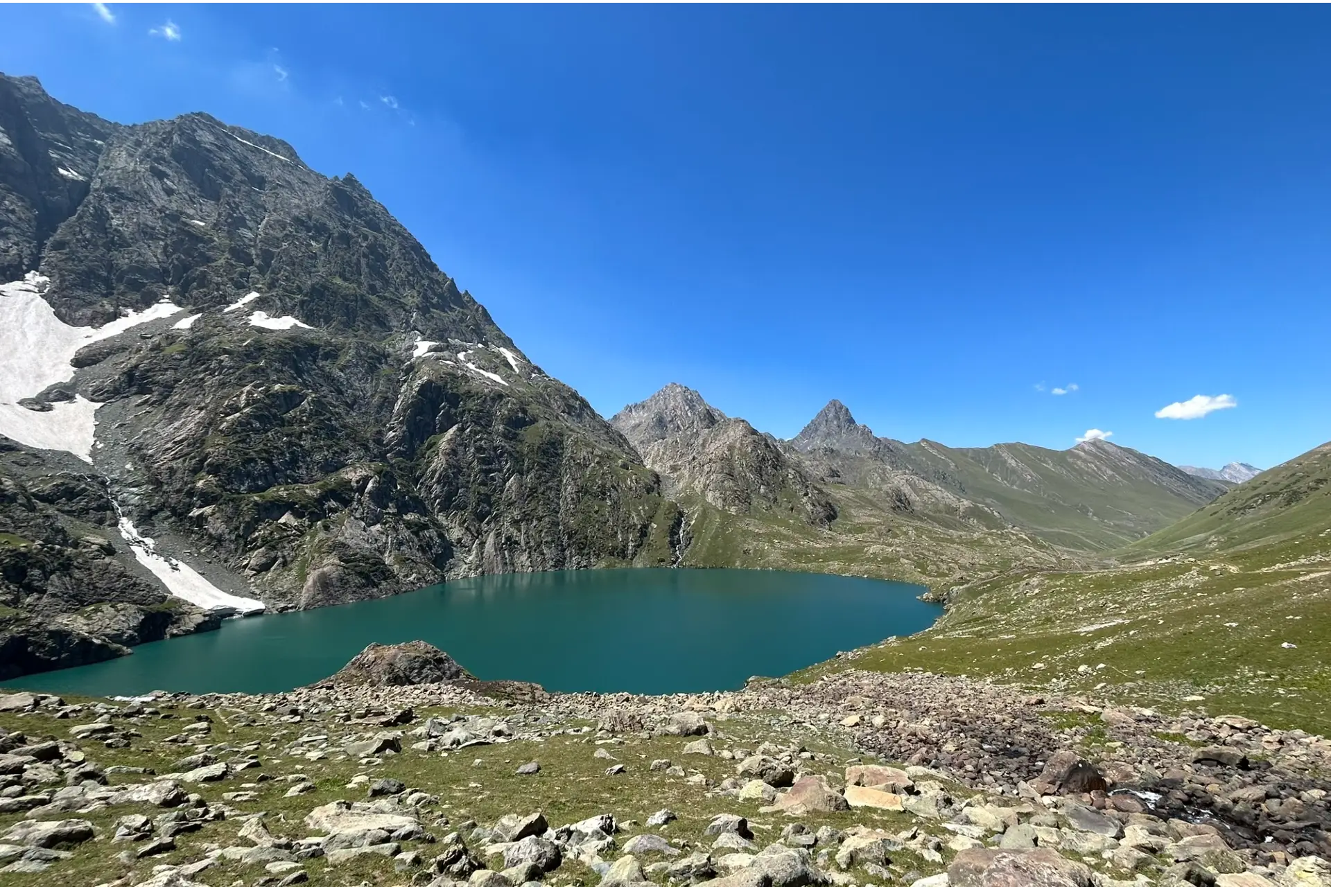
- Kashmir Great Lakes Trek takes you through the most beautiful lakes in Kashmir, surrounded with towering mountains and rolling vast meadows.
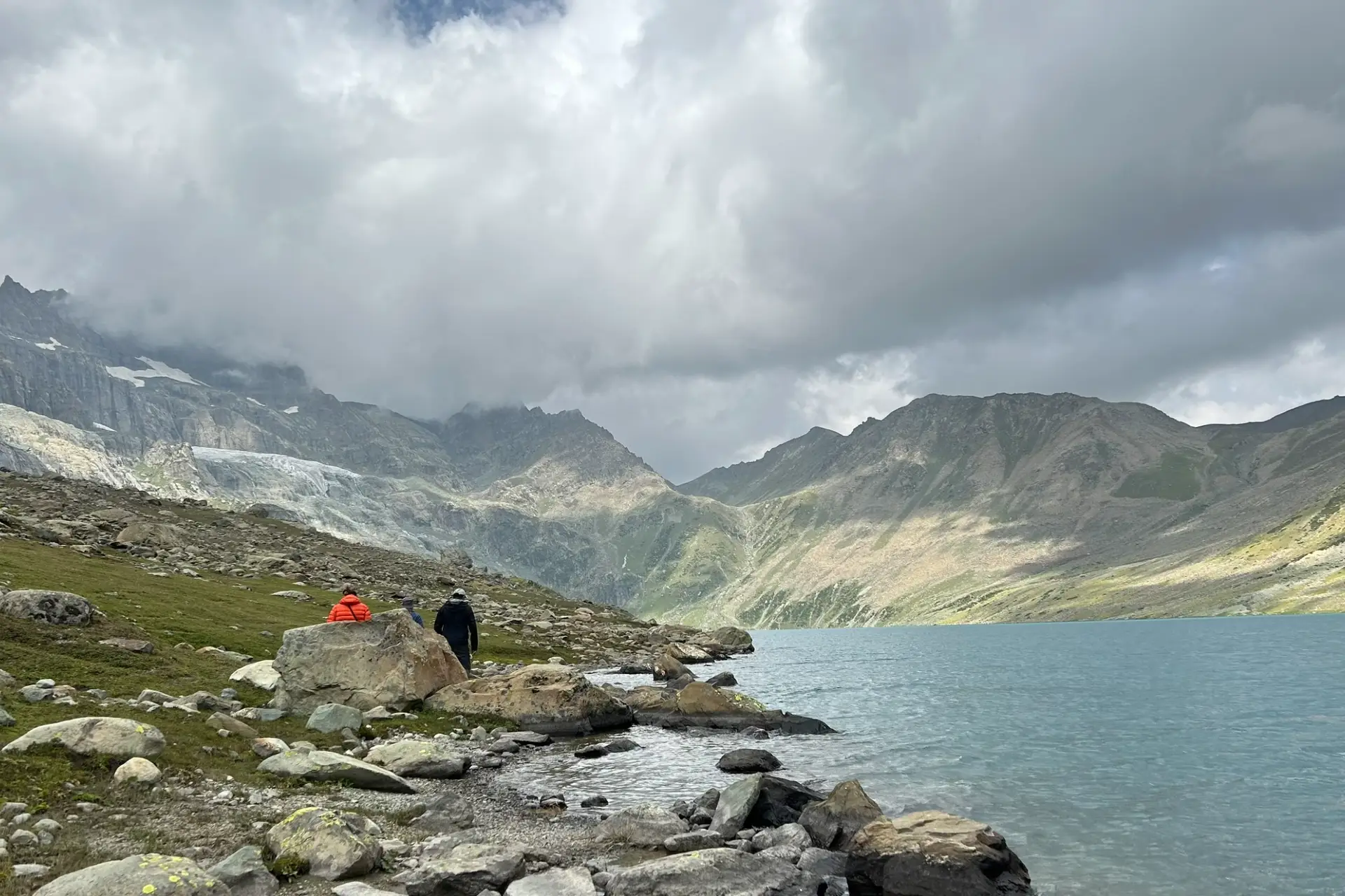
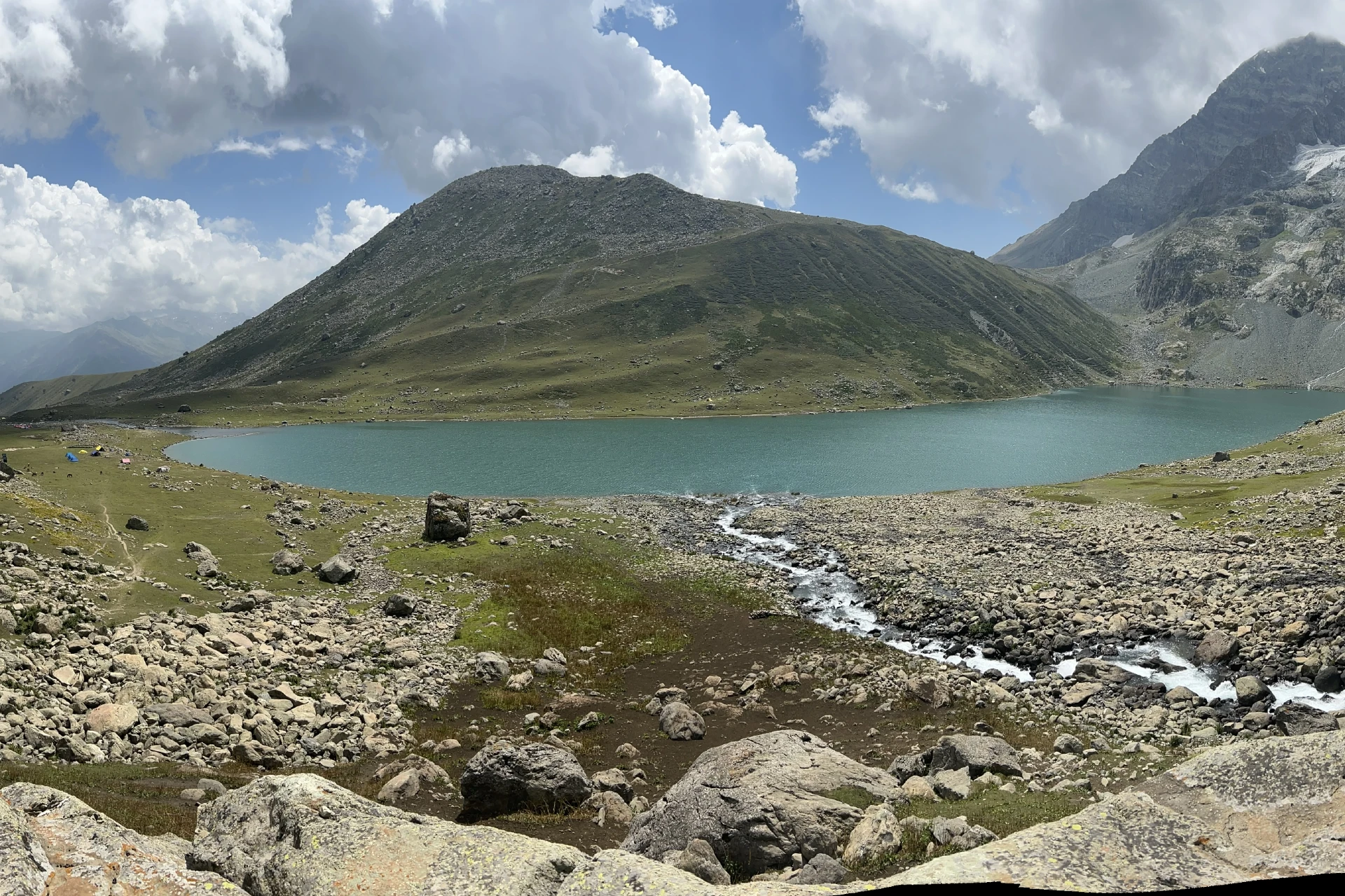
- During the trek you will explore five major glacial lakes of Kashmir, including Gadsar, Vishansar, Krishansar, Nundkol and Gangabal. Apart from these five you will come across few other serene glacial lakes and cascading waterfalls during the trek which are equally beautiful.
Major attraction of the Kashmir Great Lakes
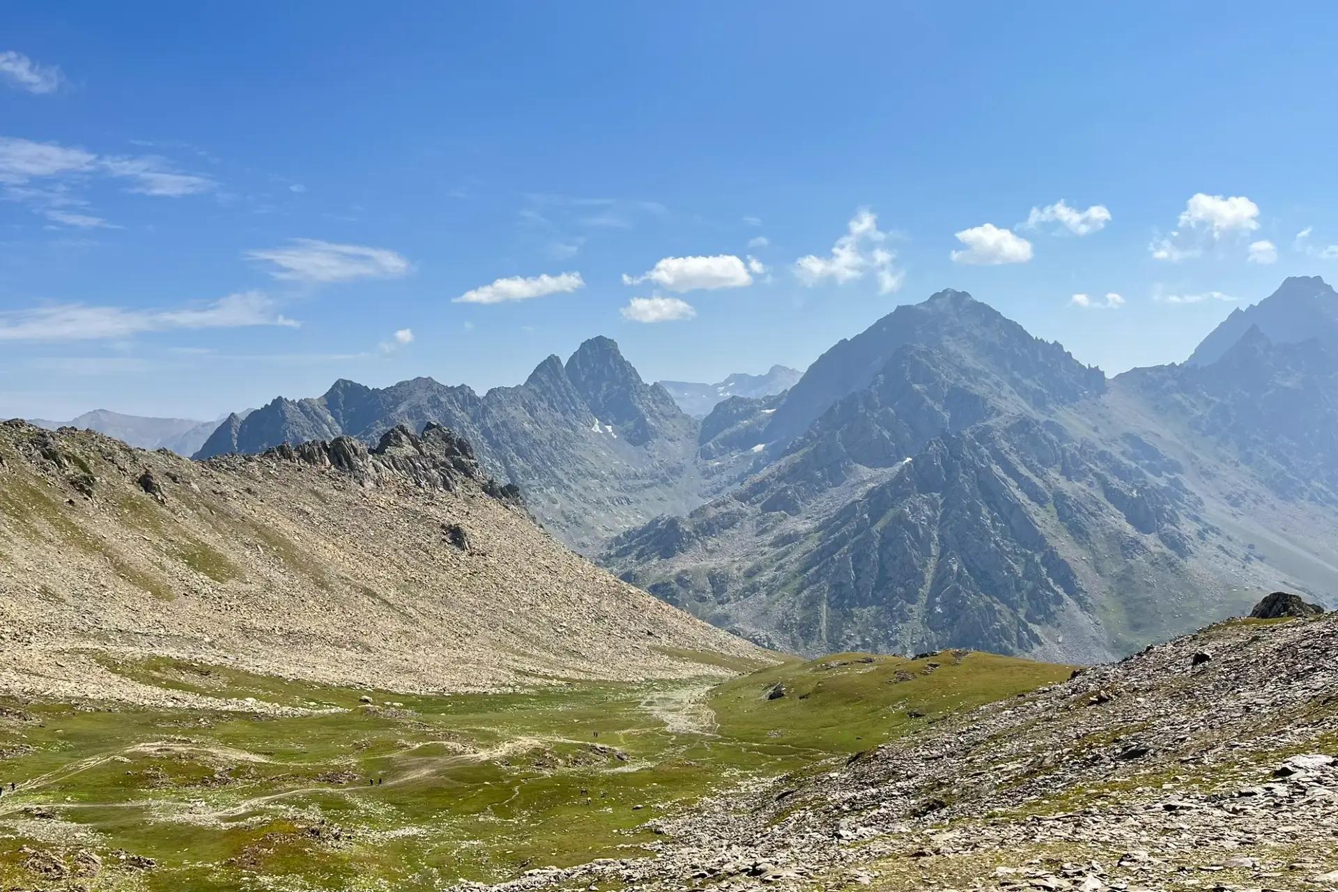
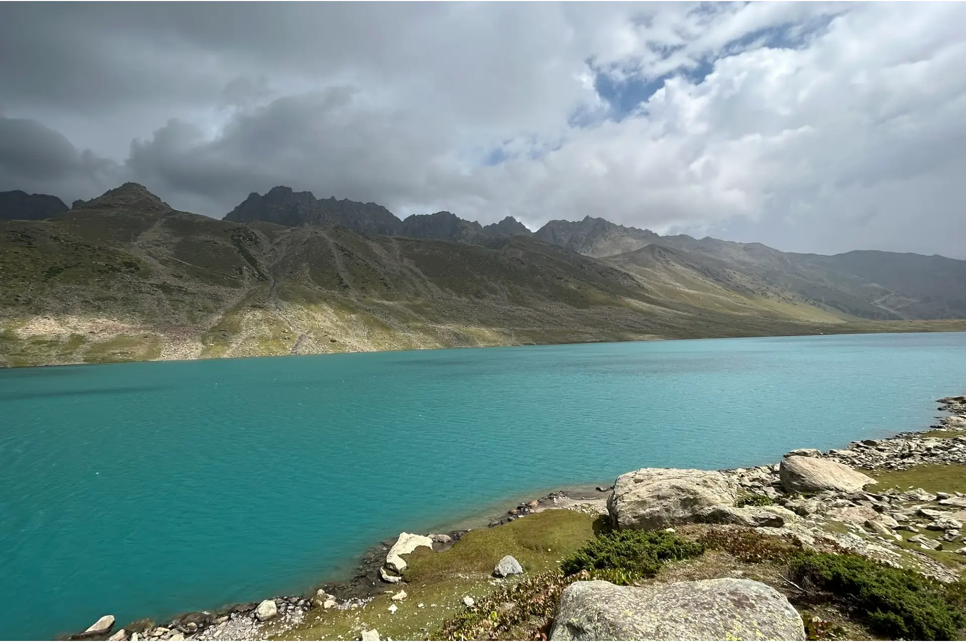
- Standing at these passes, you’re not just looking at the scenery, you are also a part of it, surrounded by nature’s grandeur, with a perspective so rare and incredible that it leaves you utterly spellbound. Beyond these high-altitude wonders, the trek showcases the unmatchable beauty of Kashmir, often referred to as “paradise on earth.” The vast meadows you traverse are unlike any other, endless green cozy carpets filled with colorful wildflowers. Each step immerses you in different landscapes from the lush valleys to the alpine settings that feel surreal. The campsites on each day are equally amazing, nearby the beautiful water bodies and surrounded with vast mountains. The sight of the glistening lakes, each with its unique character, such as the twin lakes of Gangabal and Nundkol, or the turquoise hues of Vishansar and Krishansar, reflecting the sky and the surrounding peaks, is a visual treat like no other.
- While the beauty of this place is undeniable, it’s important to remember that preserving it is essential. The biggest uniqueness we can offer is maintaining the uniqueness and ensuring that we leave no trace behind, no garbage, no disruption to the environment. As much as this beauty is a gift, it’s also fragile, and the less we spoil it, the more future generations can witness the untouched serenity of the Kashmir Great Lakes.
- What makes it a unique trek is the wide spreading variety of landscapes it offers, something you won’t find on most of the treks. From lush green meadows dotted with wildflowers to serene alpine lakes mirroring the grandeur of snow-clad peaks, KGL is a visual masterpiece and one of the best treks in India.
Eligiblity for Kashmir Great Lakes Trek
- Age Requirement : Minimum 14 years
- First-timers are welcome, though prior trekking experience is preferred. Good fitness is a must.
- Fitness Criteria :
- The Trekker should have sufficient stamina to cover 5 km of distance by jogging in 30 minutes without stress or 10 km of distance in 70 minutes without stress
- If the trekker prefers cycling he/ she should be able to cycle 18 km of distance in 50 minutes.
- If the trekker wants to carry a backpack then he/she should be able to carry a 10-12 kg backpack. If opt Off-load option then the trekker should be able to carry 3-5 kg backpack.
- If a trekker's BMI is more or less than the normal range (18-27), please consult our Trek Coordinator before booking.
Kashmir Great Lakes Trek Itinerary
01. Arrive At Shitkadi camp
- Altitude: 2,600 m/ 8,500 ft.
- Drive Distance: 90 km from Srinagar | approx 3 hrs.
02. Shitkadi camp To Nichinai Via Shekdur
- Altitude:
- Nichinai 3,500 m/ 11,500 ft.
- Shekdur 3,350 m/ 11,000 ft.
- Trek Distance: 11 km | 8 hrs.
- Altitude Gain: 900 m/ 3,000 ft.
03. Nichinai To Vishansar Lake via Nichinai pass
- Altitude:
- Vishansar 3,650 m/ 12,000 ft
- Nichinai pass 4,000 m/ 13,100 ft.
- Trek Distance: 12 km | 7 hr.
04. Acclimatization + Rest Day (Conditions Apply)
- You may visit Kishansar Lake, which is approximately 1 and a half km from our campsite.
- If weather is not good we will use acclimatization day at Vishansar or else move towards our next campsite, rest day can be used at Gangbal camp site.
05. Vishansar Lake To Gadsar Lake Via Gadsar Pass
- Altitude:
- Gadsar 3,350 m/ 11,000 ft
- Gadsar pass 4,200 m/ 13,750 ft.
- Trek Distance:14 km | 10 hrs.
06. Gadsar To Satsar
- Altitude: 3,650 m/ 12000 ft.
- Distance: 9 km | 6 hrs.
07. Satsar To Gangabal Twin Lakes Via Zaj Pass
- Altitude:
- Gangabal 3,500 m/ 11,500 ft
- Zaj pass 3,950 m/ 13,000 ft.
- Trek Distance: 11 km | Duration: 6 hours approx.
08. Gangabal To Naranag, Drive To Srinagar
- Altitude: 2,250 m/ 7,450 ft.
- Trek Distance: 15 km | 7 hrs approx.
- Please note that prepaid sim cards do not work in Kashmir.
- Don’t forget your ID proof in original and 2 photocopies.
Arrive At Shitkadi camp
- Altitude : 2,600 m/ 8,500 ft.
- Drive Distance : 90 km from Srinagar | approx 3 hrs.
- If booked in advance, WTM can arrange pickup from Nishant Garden, at 12 pm.
- Our campsite is near the Sindh River (Shitkadi Village)
- Since there are no shops around ensure that you have all that you need already
- Remember to carry your ID proof in original and 2 photocopies as we have to submit them at the army check post.
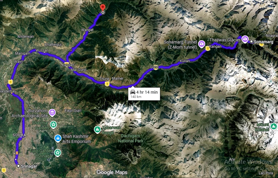
The journey to Kashmir Great Lakes begins from Shitkadi Village, which is a little ahead of Sonamarg and about a 3-hour drive from Srinagar. WTM representatives will pick you up from Srinagar (Nishat Garden) and drive all the way to Shiitkadi, where you will rest for the night before beginning your trekking adventure the next day. Before you begin your trekking adventure, you will spend the day in the beautiful surroundings of Shitkadi Village.
You can spot some of the great mountain peaks like Kolahoi, Tribal, Machoi, Amarnath Peak, and Machoi Glacier. The view en-route to the campsite is very scenic and all along the route, you will see the vast expanse of grasslands and meadows on either side of the road. The stay is arranged at Shitkudi Campsite. You will be briefed before dinner and then you can rest properly as you have a big day ahead!
Shitkadi camp To Nichinai Via Shekdur
- Altitude :
- Nichinai 3,500 m/ 11,500 ft.
- Shekdur 3,350 m/ 11,000 ft.
- Trek Distance : 11 km | 8 hrs.
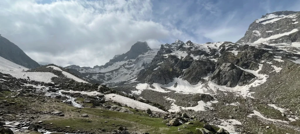
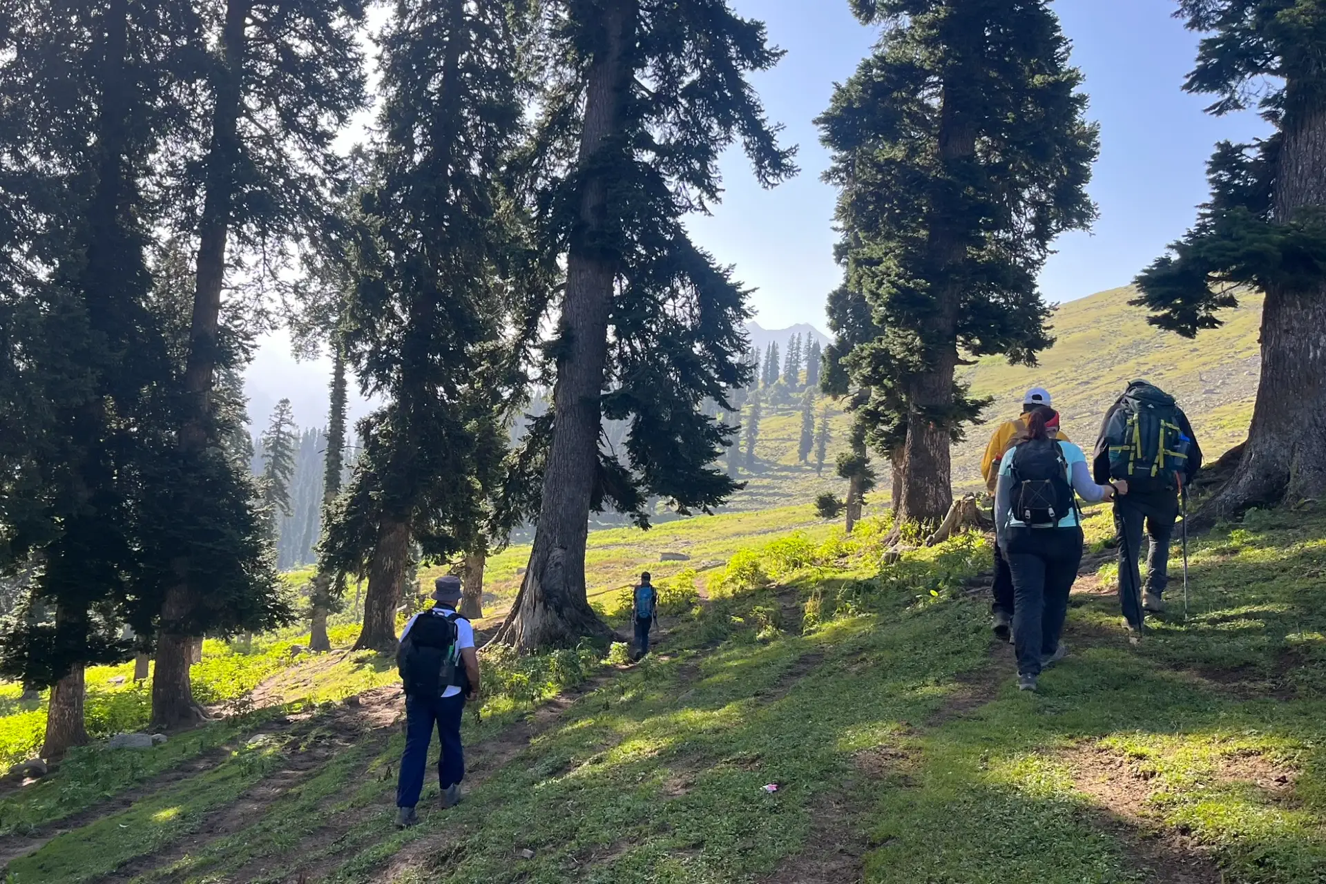
The day begins shortly after breakfast as we trek to Nichnai. The trail takes you through meadows, and dense forests with Maple, Pine, and Bhoj trees.
After approx. half an hour, we get to an army check post where we have to submit our ID proofs.
The trek starts 3 km out of Sonamarg, on Srinagar Road. Exactly at the 3 km mark, spot a lone Dhaba on the right. The place also sells packaged water, biscuits, etc., and is your last place to pick up any snacks.
The trekking trail starts along the track but quickly diverts higher up. 10 minutes into the trek, the trail bends and enters a green meadow. The meadow directly overlooks Sonamarg town. In half an hour, you reach the top of the meadow from where tree lines of Maple and Pine start. Once you reach the tree line, the trail descends until a tiny brook and then climbs up again and what follows next is a lovely dense forest of Maple trees.
Stick to the trail that goes in an uphill direction as the one heading down diverts into the nearby villages. Occasionally, the trees give way to clearings. Turn around and delight in the spectacular view of the Sonamarg Valley that gets bigger and fuller as you keep gaining altitude.
The streams, the meadows, the pines, and the towns nestled together make a wonderful picture. The climb now gradually goes downhill as the trail slopes down towards the meadow that is lined with Silver Birch trees and a few shepherd huts.
The gentle descent of the meadow now ends in forests of Bhoj or Silver Birch. Take the trail that goes in the middle of the forest and continue to descend gently. Watch out for sun rays making their way in between the thick foliage making it a nice show of light and dark.
Nichinai To Vishansar Lake via Nichinai pass
- Altitude :
- Vishansar 3,650 m/ 12,000 ft
- Nichinai pass 4,000 m/ 13,100 ft.
- Trek Distance : 12 km | 7 hr.
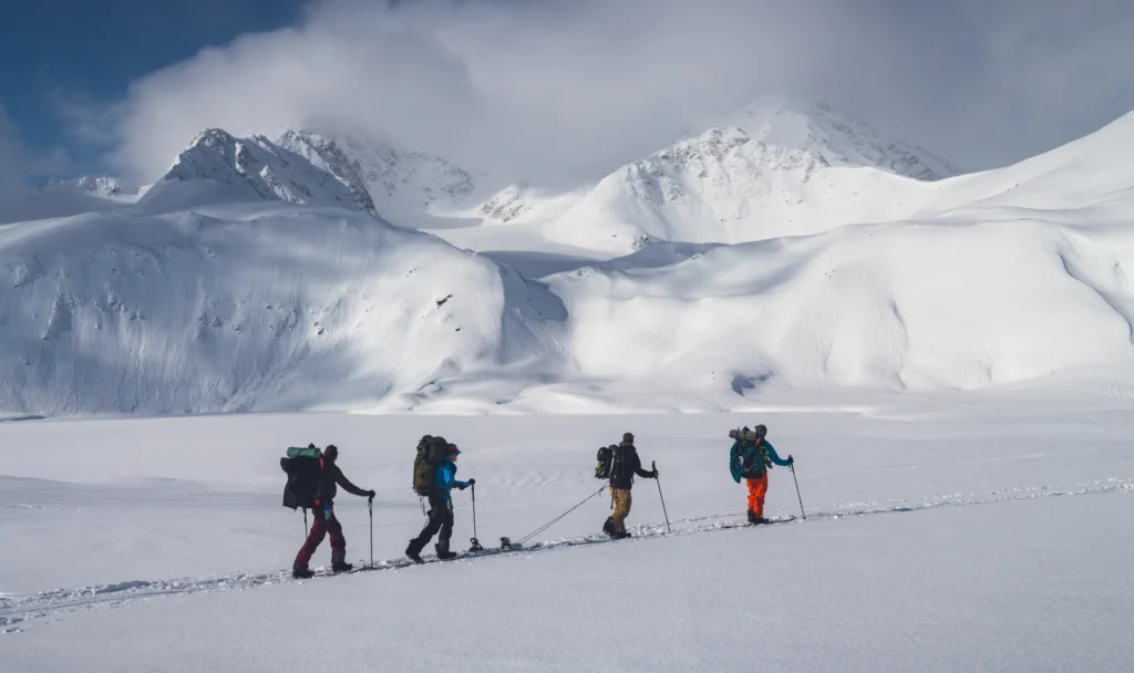
Trek from Nichinai to Nichinai Pass is approximately 1 and a half hours ascent. At the top of Nichinai Pass, you can get the BSNL network, which is the last point under the mobile coverage area. From Nichinai Pass to Vishansar there is a descent. At Vishansar campsite lunch will be offered.
We can visit Vishansar Lake, which is just 15-minute walk from the campsite. The first lake of the trek and one of the most beautiful ones. We start the day early around 7 or 8 in the morning to begin our trek towards the first of the Great Lakes, the Vishansar Lake. The day’s trek is more or less a long walk on the alpine grasslands of Kashmir. Start your trek from Nichinai to Nichinai Pass, which is visible from the campsite. Half an hour into the walk and you have to cross the gurgling stream to reach its left bank. The trail starts ascending here and for the next one hour, you will climb up gradually to the Nichinai Pass. While some may find the climb to the Nichnai Pass a little strenuous as it is a straight climb, however, there is good news as the trek post the pass is a downward climb. The trail from the pass descends rapidly and in about an hour, you will reach grassy lands from the rocky area. The meadow is a vast expanse of land spreading far and wide with snow-clad mountains surrounding the entire meadow. There’s another river flowing from the pass into the meadow ahead. To your left, you will also see a big waterfall cascading down and mingling with the river. At the end of the valley, a river flows perpendicularly from left to right and this river actually originates at the Vishansar Lake. The lake is not visible yet as it is a little higher on the top. This is a good place to pitch your tents by the river. After the trek, if you have ample time, you can explore the twin lakes or wait for it until the 6th day.
Acclimatization + Rest Day (Conditions Apply)
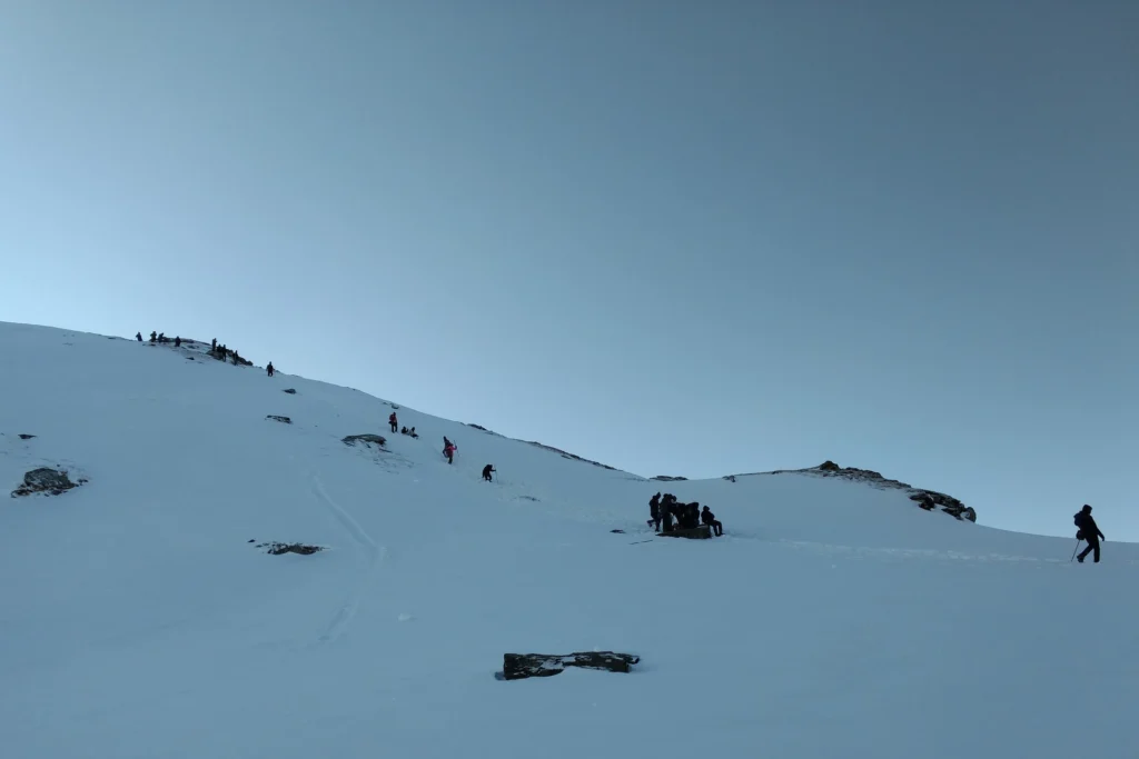
Day 4 is reserved for acclimatization as you need to give your body enough time to adjust to the conditions of higher altitude. The next lake following the Vishansar lake is the Kishansar Lake. Kishansar is 0.5 km away from Vishansar and is situated at the base of the Kishansar Peak. It will take about 45 minutes to trek to Kishansar from Vishansar. The trail to the Kishansar Lake climbs from the right side of the Vishansar Lake. On the right-hand side of the Kishansar Lake lies a big meadow which is a perfect spot for capturing photographs.
Note: The use of acclimatization day is subject to change to weather conditions. If the weather is really good then we won’t stop for acclimatization but rather move forward to the next campsite. Acclimatization day can be used later at Gangabal campsite.
Vishansar Lake To Gadsar Lake Via Gadsar Pass
- Altitude :
- Gadsar 3,350 m/ 11,000 ft
- Gadsar pass 4,200 m/ 13,750 ft.
- Trek Distance : 14 km | 10 hrs.
- We start the trek earlier than usual.
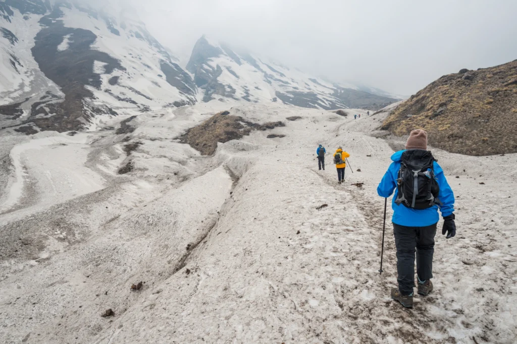
- The trail passes from Vishansar To Gadsar via Gadsar Pass, the highest point of the trek.
- From Vishansar, the trail takes a steep ascent to Gadsar Pass.
- We can spot the Kishansar Lake on the way.
- From the Gadasr Pass to the campsite, we descend gradually.
- We can spot the Gadsar Lake en route.
- You might also spot the glacier of the Gadsar Lake.
- After the Gadsar Lake, we will reach the campsite in two hours.
- Just a few minutes before our campsite, we will have another army checkpoint and we will have to share our IDs.
- A packed lunch will be provided during the trek.
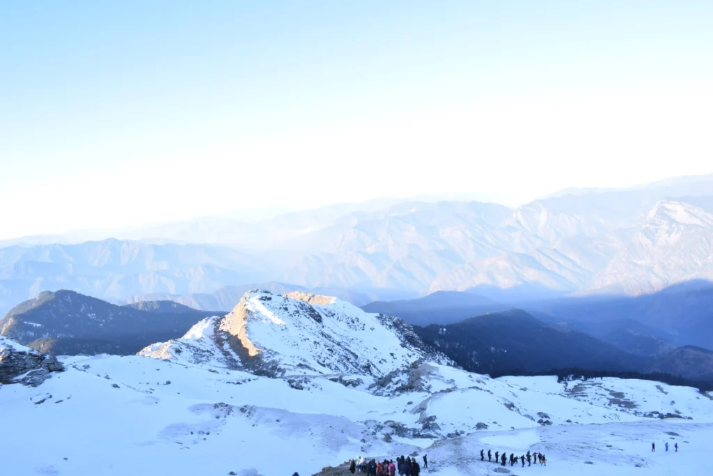
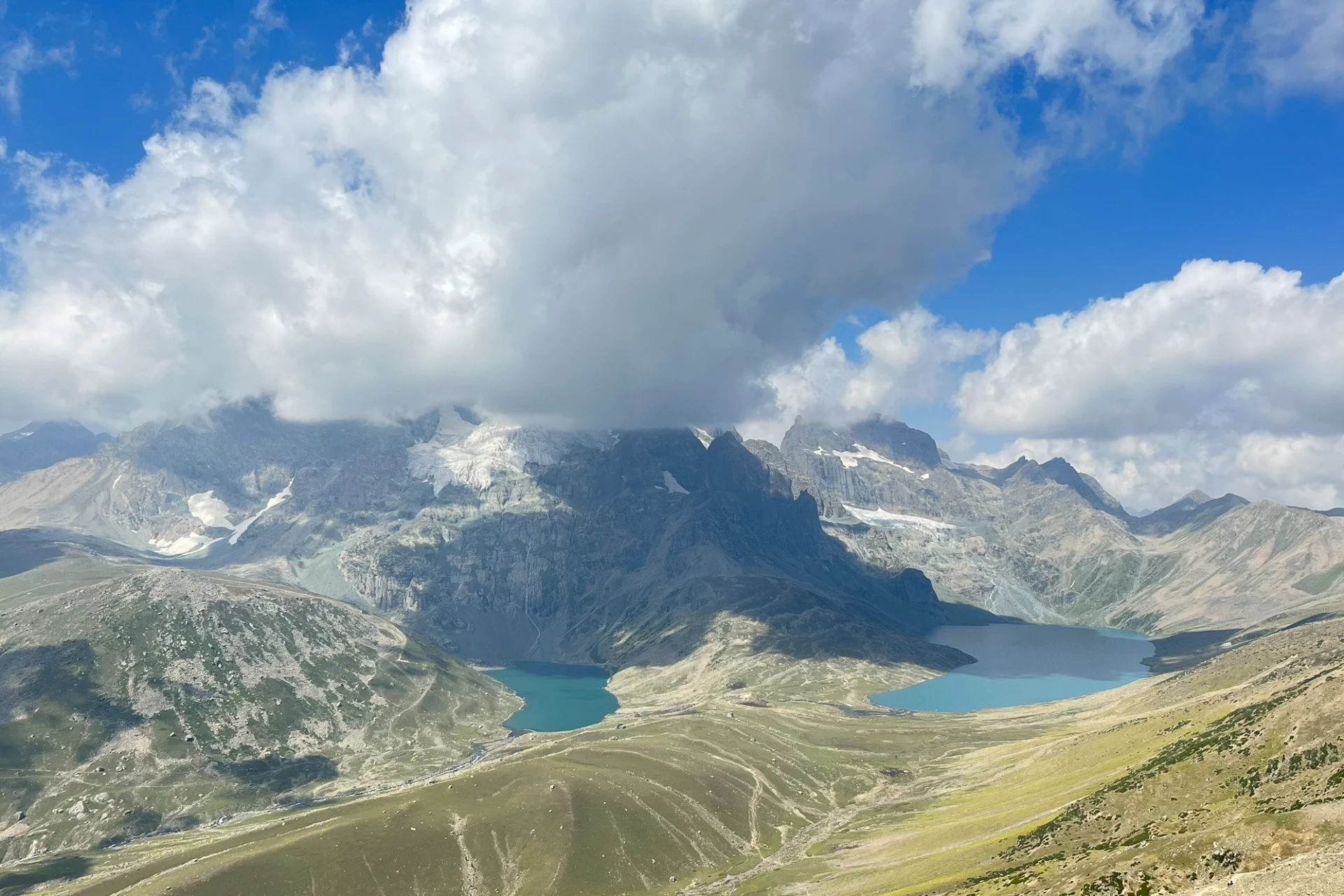
A climb of about an hour and a half will take you to the top of a ridge, another 45 minutes in the climb and you will arrive at a spot that will totally captivate you with an amazing view. There comes a point from which you can see the Kishansar and Vishansar Lakes together in full view. This enchanting view accompanies you all the way to the top of the Gadsar Pass. The Gadsar Pass lies at an altitude of 13,750 ft and is the highest point on today’s trek. Relish the view from the top of the Gadsar Pass for a while before moving ahead. Once you reach the Gadsar Pass, it is a steep descent below and en route, you will first spot the Yamsar Lake, a quaint little lake not very popular. Once you have arrived at the area near the blue Irises, Gadsar is not far away. Soon you will reach Gadsar, one of the prettiest alpine lakes you have ever seen. Gadsar Lake lies at an altitude of 12,000 ft and the sheer beauty of it will leave you speechless. Gadsar is located at the base of mighty snow-covered peaks. On the one side, you will see snow blocks cascading down to the lake from the mountains, and on the other side, you can see colorful flowers and greenery making for a mesmerizing sight.
Gadsar To Satsar
- Altitude : 3,650 m/ 12000 ft.
- Distance : 9 km | 6 hrs.
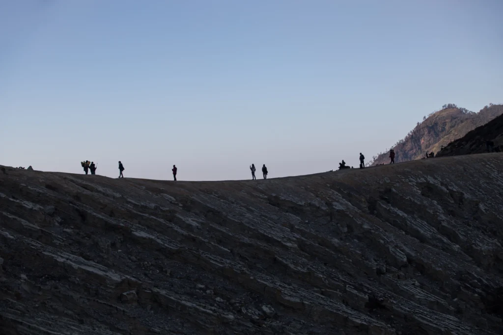
Mid-July to mid-August, the trail is laden with vibrant flowers. We need to share our IDs at another army check post en route. Moving on, we see two small lakes which are often mistaken for Satsar Lakes. We will visit Satsar twin lakes in the afternoon, which are approx. 1.3 hr apart. Satsar Twin Lake is also known as Mengen Top. The climb continues for an hour and a half and you gain an altitude of 1,100 ft. Once you cross past the 11,500 ft mark, the climb transforms into a traverse and bends towards the left leaving the river valley.
Once you are out of the river valley, you will be walking on a flat meadow surrounded by mountains on all sides. Soon you will spot first of the Satsar Lakes. The name Satsar translates to ‘Sat’ meaning seven and ‘Sar’ meaning lake. Satsar is a collection of seven lakes which justifies the significance of the name.
Satsar To Gangabal Twin Lakes Via Zaj Pass
- Altitude:
- Gangabal 3,500 m/ 11,500 ft
- Zaj pass 3,950 m/ 13,000 ft.
- Trek Distance : 11 km | Duration: 6 hours approx.
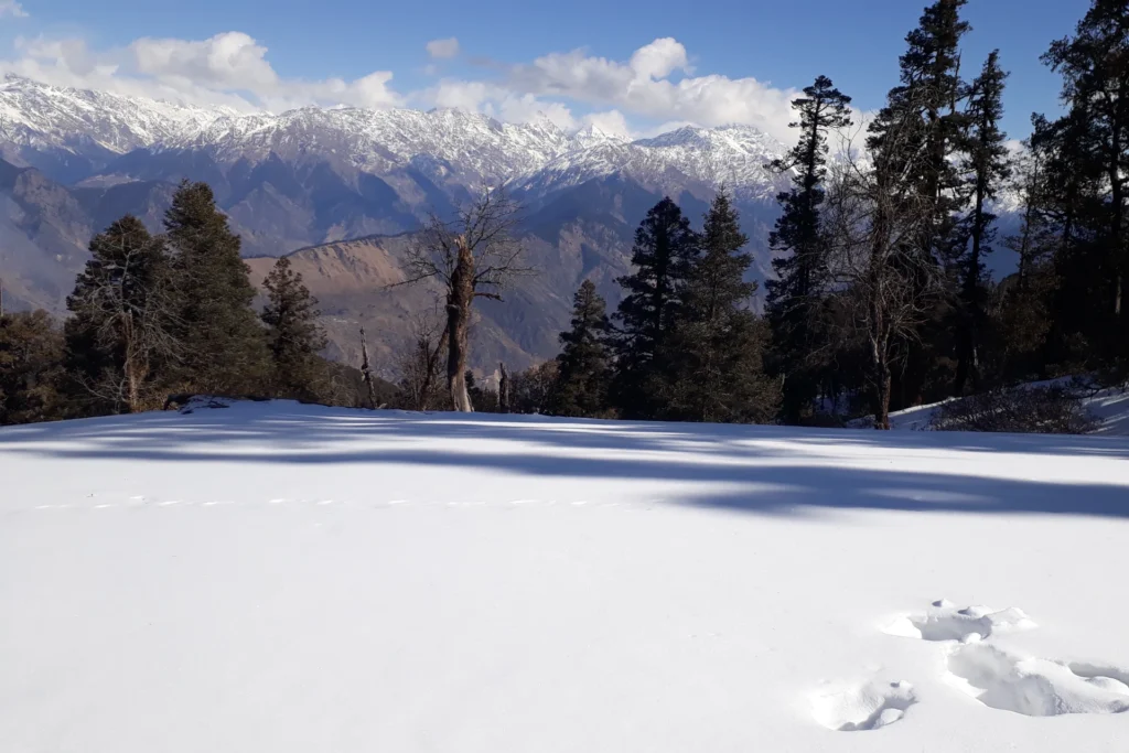
The trail follows the same pattern of going up and down. From our campsite, we will begin our trek and after half an hour of climbing, you will arrive at the biggest of the Satsar Lakes and also the last one in the sequence. The terrain is mostly rocky and filled with boulders. From the lake, the trail keeps descending and continues for about half an hour on this trail and you will arrive at the first forest line. On your right is a ridge and on your left is the forest line. From here, you will again gain altitude through a zig-zag trail to the top of the first ridge you have to climb two more ridges to reach the top and the terrain from the base to the ridge top is barren and rocky.
There are no water sources on the ascent, during the descent, you will come across a stream, and crossing the wooden bridge, you will arrive at Nandkol your camping site for the night. Nandkol campsite is a popular camping ground and as such a Green Trails Hotspot. The Gangbal Lake is at a distance of 20 minutes from Nandkol and a stream connects both of them. We have to cross the stream to reach one lake from the other. Avoid crossing the stream from the lower level, instead, go all the way to Gangbal and you will find a bridge laid out.
Gangabal To Naranag, Drive To Srinagar
- Altitude : 2,250 m/ 7,450 ft.
- Trek Distance : 15 km | 7 hrs approx.
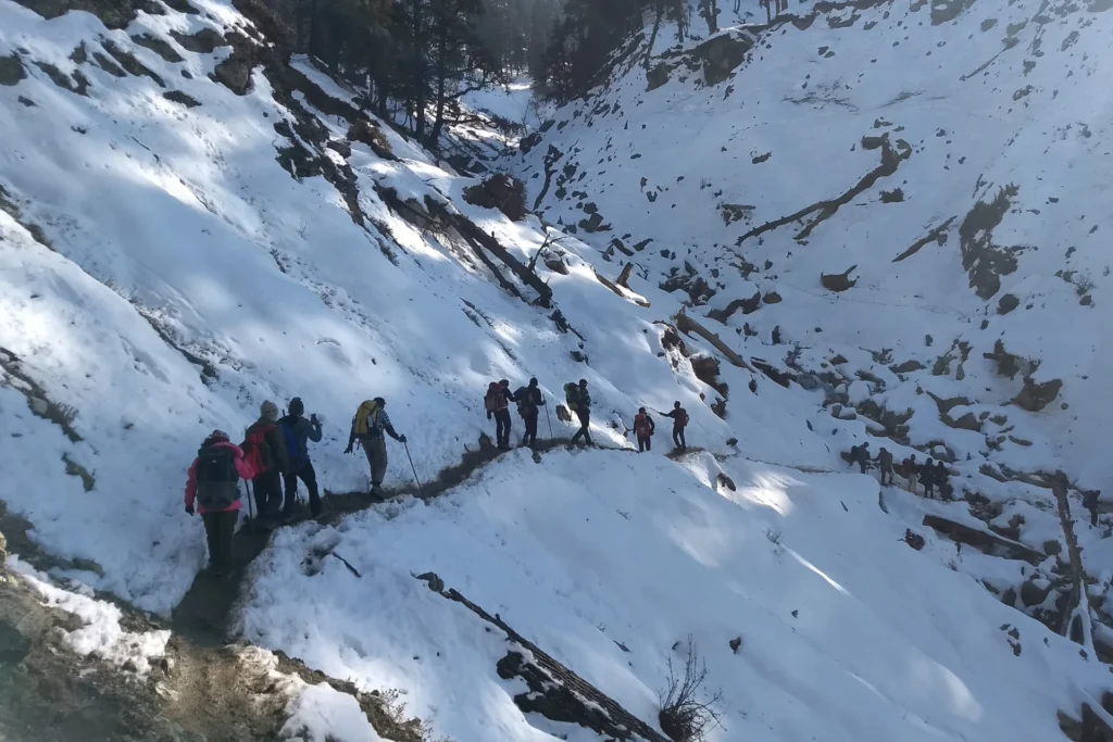
The trail is a descent till the last point of the trek – Naranang, so take care of your knees and ankles. The trail will pass through pine tree forests.
Today is a complete downhill climb the steep descent is going to be hard on your knees so be prepared. From your Gangabal campsite, climb down through the ridge following the stream towards the tree covers. 30 minutes into the trek and the Airtel network begins to catch network, you can inform your home that you have made it down safely! As the ridge ends, you arrive at a flat meadow. From here you can look back and see an impressive image of Harmukh Peak, standing tall and mighty.
An hour into the trek and you will begin to enter the treeline, which mostly consists of Pine trees and you will also begin to see signs of civilization as a log hut comes into view. For about 6 km you will keep making your way in and out of the forest not really losing much altitude. After two-thirds of the distance is covered, the trail begins to descend and it is a really steep descent. The trail here is muddy and well-trodden and through thick pine covers. The last 4 km of the trek is a huge drop where you lose an altitude of more than 3000 ft. You may even spot a lot of trekkers on your way down, they are trekking from Naranang to Gangabal. Naranang slowly comes into sight, a little bit more to go. The last part can be a test of your endurance as it is quite steep. A little further and stone-paved path comes along and in a few minutes, you enter the village of Naranang.
Health Awareness
- Pulse rate at rest must be in between (60 to 100 beats per minute).
- Blood Pressure Reading must be in between (DIASTOLIC 75 – 85, SYSTOLIC 100 - 130 mm Hg).
- Respiratory rate at rest must be in between (12 to 20 breaths per minute).
- Should not have Liver and kidney issues.
- Should not have Diabetes Mellitus, Bronchial Asthma, Heart problems, Hypertension, etc.
- No pacemaker implant.
- People with Sinus issues, Epilepsy please contact to trek coordinator before booking the trek.
- If your BMI is not normal, Please contact our Trek coordinator before Trek booking.
Important Links
How to Reach:
Pick-Up Information
- Pick-up location : Nishat Garden near the Parking Area, Srinagar.
- Once you have reached Srinagar, WTM will manage the rest of your travel arrangements, if you have opted for WTM's pick-up service, you can select this option during the booking process by adding it as an add-on.
- Do reach Srinagar one day before your trek date for a safer side.
- Pick-up Place & Time : Nishat Garden near the Parking Area, Srinagar 10:00 am
Options to Reach Srinagar
- 1. If you are planning to fly to Srinagar which is well connected to all major airports in India, you can reach the Nishat Garden in appx 1 hr via taxi from the airport (approx 20 Km).
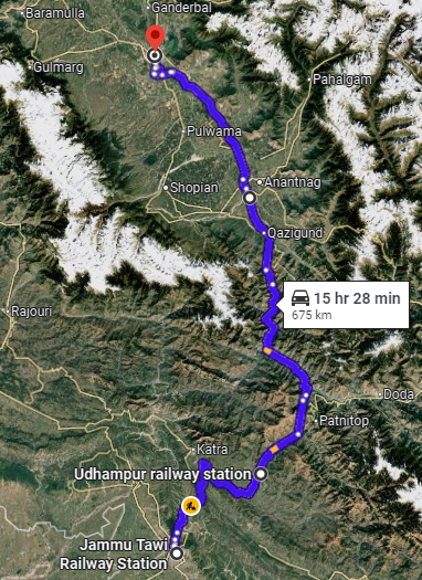
- 2. If you’re coming by train, there are two railway stations.
- Jammu railway station is about 260 km away and takes around 8 hours by bus.
- Udhampur is 200 km away and from there, it is a 6-hour bus journey to Srinagar.
- 3. If you are taking a bus from Jammu, then you have multiple options to take. There are two gates outside Jammu ISBT. You will get shared cabs from both of these gates.
- 4. If you are reaching the Railway Station, the share cabs to Srinagar will cost between Rs 800 to Rs 1000.
- 5. Shared cabs are more from the Jammu ISBT compared to the Railway Station. You can travel from the Railway station to the bus stand. The fare of the bus will be Rs 10. The auto will charge around Rs 80 to 120.
Drop-Off Information
- The designated drop-off point is Nishat Garden near the parking area, Srinagar 6 pm.
- If you have to make any arrangements for further travel from Srinagar, do it the next day.
- WTM offers comfortable transportation through Tempo Traveler, Bolero, or equivalent vehicles.
Cost Terms
1. Accommodation (as per the itinerary)
- Day 1 to Day 7 Accommodation in twin-sharing tents while on the trek.
2. Meals (Veg + Egg)
- All meals from Dinner on Day 1 to Day 8 Pack Lunch (As per itinerary).
3. Support
- A versatile base camp manager who ensures clear communication and swiftly deploys additional manpower during emergencies.
- 1 Mountaineering & First Aid Certified Expedition Leader
- 1 Experienced High-Altitude Chef
- Local Guides (Number based on group size)
- Sufficient Support Staff for logistics and safety
4. Trek Equipment
- Sleeping bag, sleeping liner, mattress and utensils.
- 3-person all-season trekking tents on a twin-sharing basis
- Kitchen tent, dining tent, and toilet tent
- Camping stools and walkie-talkies
- Technical gear: ropes, helmets, ice axes, harnesses, gaiters, and micro spikes (if required)
5. First Aid
- First aid kit
- Stretcher
- Oxygen cylinder
- Blood pressure monitor
- Oximeter
- Stethoscope
6. Load Support
- Porters to carry central/common luggage such as camping gear, food supplies, and equipment.
7. Permits & Entry Fees
- All required permits and entry fees included (up to the amount charged for Indian nationals).
8. Trek Completion Certificate
- Certificate of Completion provided by WTM
- Insurance (For non-Indian Nationals, NRI or OCI card holders).
- Food during the transit.
- Any kind of personal expenses.
- Mule or porter to carry personal luggage.
- Emergency evacuation, hospitalization charge, etc.
- Any extra costs incurred due to extension/change of the itinerary due to natural calamities roadblocks, vehicle breakdown, etc. factors beyond our control
- Transportation from Srinagar to Shitkadi camp and Naranag to Srinagar.
- Anything not specifically mentioned under the head Inclusion.
Trek Essentials
| Backpack with rain cover | (40 – 50 ltr) with comfortable shoulder straps |
| Day pack with rain cover | 20 – 30 ltr (If off-load opted) |
| Walking stick | Advisable (At least one) |
| Water Bottle / Hydration pack | 2 bottles of one liter each, People who use hydration pack 1 hydration pack and 1 bottle of one liter, Carry at least one thermos flask. |
| Small size tiffin/lunch box | 1 Nos |
| Snacks | Energy bars, dry fruits, electral/ORS |
| Personal Medical Kit | Consult your doctor |
| T-Shirt (Synthetic quick dry) | 2 Full & 2 Half sleeves |
| Fleece T-shirt | Min. 2 Nos |
| Fleece jacket | 1 Nos |
| Windproof Jacket | 1 Nos |
| Down feather / Hollow jacket | 1 Nos |
| Thermal inner (Upper and Lower) | 1 Pair |
| Trek Pant (Synthetic quick dry) | 2-3 Nos |
| Fleece Pant | 1 Nos |
| Waterproof gloves | Not required |
| Fleece / woollen gloves | 1 Pair |
| Poncho / waterproof Jacket and pant | 1 Nos |
| Head torch | 1 Nos. (Avoid Hand torch) |
| Sun cap | 1 Nos. (One that covers the neck as well) |
| Woolen cap | 1 Nos. |
| Balaclava | 1 Nos |
| Buff / Neck-gaiters | 2 Nos. |
| Sunglasses | UV with dark side cover, People who wear spectacles – (A)- Use contact lenses | (B)- Photo chromatic glasses |
| Trekking shoes | 1 Pair (Water-resistant, high ankle with good grip) |
| Floaters / flip-flops | 1 Pair |
| Cotton socks | Min 6 pairs |
| Woollen socks | 2-3 pairs |
| Gaiters | 1 Pair (WTM provides when required) |
| Micro spikes | 1 Pair (WTM provides when required) |
| Sunscreen cream | 1 Nos |
| Moisturiser | 1 Nos |
| Chap-stick / Lip balm | 1 Nos |
| Toothbrush and toothpaste | 1 Nos |
| Toilet paper & Wipes | 1 Nos |
| Soap / hand sanitizers | 1 Nos |
| Antibacterial powder | 1 Nos |
| Quick dry towel | 1 Nos |
Gallery

Cancellation Terms
To request a cancellation, please email us at info@walkingthemountains.com using your registered email ID.
Cancellations prior to 28 days from the start of the Trip
Refund Options
- 5% deduction of trek fee
- 100% trek fee cash voucher for any trip until six months from the date of last trek.
- Transfer your trek (any trek, any date) to your friend
Cancellation between 27 days and 15 days to the start of the Trip
Refund Options
- 30% deduction of trek fee
- 100% trek fee cash voucher for same trip till one year
- 85% trek fee cash voucher for any trip till one year
Cancellation between 14 days and 8 days to the start of the Trip
Refund Options
- 50% deduction of trek fee
- 80% trek fee cash voucher for same trip till six months.
- Book the same trek, in the same season, with any other batch
- Transfer your trek (same trek, any date) to your friend
Cancellation less than 7 days to the start of the trek.
Refund Options
- No cash refund
- 20% trek fee cash voucher for the same trip until six months.
Itinerary and Modifications
- WTM reserves the right to modify, shorten, or cancel any part of the Trip due to transportation delays, weather, health emergencies, or other unforeseen circumstances including Force Majeure.
Cancellations and Refunds
- No refunds or vouchers, partial or otherwise, shall be provided for voluntary withdrawal, non-utilisation of services, or removal from the Trip.
- If WTM cancels the Trip before arrival at the designated pick-up point due to unforeseen circumstances or Force Majeure, the Participant may choose from:
- An alternate Trip/date.
- A credit voucher valid for one (1) year.
- Transfer to another Trip, with cost differences payable by the Participant.
- If the Trip is abandoned post-arrival at the designated pick-up point, no cash refund or voucher shall be issued. The Trek Again Policy may apply at WTM’s discretion.
- WTM shall not be liable for any associated travel costs such as flights, accommodation, or visa fees.
Force Majeure
- Events beyond its control including but not limited to earthquakes, landslides, strikes, curfews, war, pandemic, government restrictions, heavy rainfall or snowfall, windstorms, road blockages, trail disruption, or withdrawal of permits, WTM shall not be held liable for any cancellation, delay, or service modification caused by Force Majeure.
FAQ’S
The best time for the KGL trek is from July to September. During this period, the weather is relatively stable, and the meadows are in full bloom with vibrant flowers. The snow on the higher passes has melted, making the trail accessible, while the lakes are at their most pristine and reflective appearances.
The KGL trek is considered moderately difficult. It requires good physical fitness as the trail involves long walking hours, steep ascents, descents, and high-altitude passes. While prior trekking experience is helpful, beginners with good preparation can also complete this trek successfully.
There is no power source on the entire trail. You may carry additional power banks.
To do the Kashmir Great Lakes trek, you need to have good stamina and basic fitness, as the trek involves walking for long hours at high altitudes. It’s important that your body is well-prepared to handle the distance and the thin air.
Yes, we recommend KGL trek to first timer as well as experienced one. Make sure that you should have good fitness. People suffering from Bronchitis, Asthma, High blood pressure, Epilepsy (got faints), TB , Heart problem or on higher BMI side are strictly not allowed to go on any Himalayan trek. However, it is always better to have a local guide as there are high chances of losing the trail.
The KGL trek is unique for its combination of natural beauty and cultural charm. Unlike other Himalayan treks, it offers a rare opportunity to witness multiple alpine lakes, each with its own story and surrounded by unique landscapes. The trek also takes you through quaint Kashmiri villages, offering glimpses of the local lifestyle and warm hospitality.
Weather during the KGL trek can be unpredictable, so always be prepared. During the day, temperatures range from 15–20°C, making it pleasant for trekking. However, nights can get chilly, dropping to 2–5°C or even lower at higher altitudes. It’s essential to pack layers, including a down jacket, thermal wear, and waterproof gear, as rain showers are common in the region.